What is recorded here
On a gentle NW-facing slope. Described as a circular area (diam. 46m) defined by an earthen bank (Gannon 1972). It is not visible at ground level in pasture, but is visible as a vegetation mark (int. diam. c. 50m) defined by a single fosse feature in aerial photographs (ASIAP (186) 35-7), and it is also visible on OSI images (c. 2010).
Compiled by: Michael Moore
Date of revised upload: 1 June 2018
The monument record does not grant public access. Check the route and ask the landowner before entering private land.
- What survives
- Recorded monument
Places near here
 RoadRoad, road/trackway · 719 yd
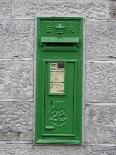 post boxpost box · 766 yd
 IndicatedFairy fort / earthen ringfort · 1408 yd
 Enclosure in RathbrenanEnclosure · 1457 yd
 European ashEuropean ash · 2.5 mi
 European YewEuropean Yew · 2.5 mi
 Roscommon CastleCastle · 3.2 mi
 CastleCastle, unclassified · 3.5 mi
 Sally IslandIslet · 5.9 mi
 Leitrim CastleCastle, unclassified · 6.2 mi
 Site of Killomaine Grave YardArchaeological place · 7.3 mi
 Mount MaryMountain / peak · 7.5 mi