What is recorded here
Camas is named for a fairy fort, yet the earthen ringfort that gave the town its identity has vanished beneath modern development. A forty-five metre circle once stood on a gentle south-facing slope, visible on maps before ploughs and builders erased it. The land still carries the shape of what was removed, inviting wonder about whose hands first shaped that bank and whose forgetting buried it again.
In pasture, on gentle S-facing slope. Monument, depicted as embanked circular enclosure (diam. c. 45m) on 1924 OS 6-inch map, has been levelled. No trace of monument evident when inspected.
Compiled by: Denis Power
Date of upload: 26 August 2011
The monument record does not grant public access. Check the route and ask the landowner before entering private land.
- What survives
- Recorded monument
Places near here
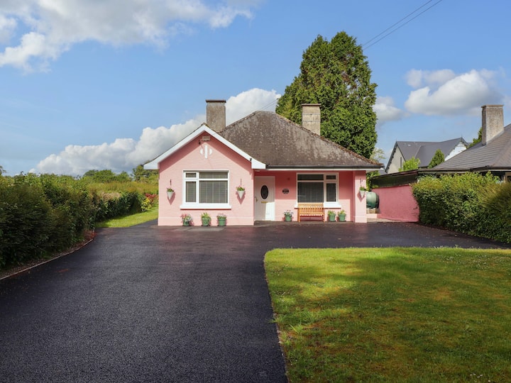 Mound in CamasMound · 526 yd
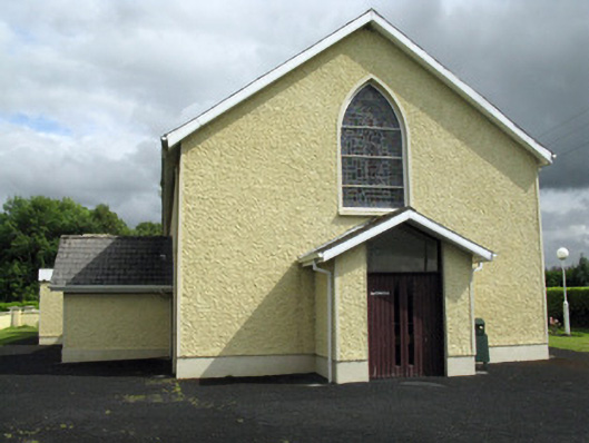 Saint Ita's Catholic Churchchurch/chapel · 1096 yd
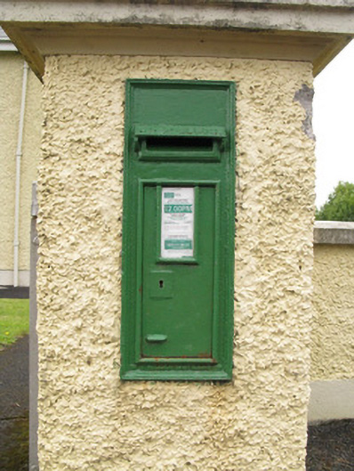 post boxpost box · 1115 yd
 Enclosure in Ballintober EastEnclosure · 1651 yd
 Saint Ite's WellSpring · 1.3 mi
 Dotted outlineBawn · 1.3 mi
 Ballagh MountainMountain / peak · 2.1 mi
 Glenquin CastleCastle · 2.7 mi
 ToberhoranSpring · 4.7 mi
 Mullaghareirk - Banane LoopWalking route · 5.1 mi
 Rock HillMountain / peak · 5.7 mi
 Limerick GreenwayWalking route · 6.4 mi