What is recorded here
Camas holds a vanished ringfort where a forty-nine metre circle still breaks the pasture grass. The earth fell flat under ploughs and boundaries, yet a shallow scarped edge and faint outer ditch preserve the shape of rooms, herds or rituals that no longer name themselves. What was built there has been erased from memory but not from the ground, leaving behind a quiet wound in the field that refuses to stop being a place.
In level pasture. Monument, depicted as embanked circular enclosure (diam. c. 30m) on 1924 OS 6-inch map, has been levelled and incorporated into pasture field. However, site is still apparent as circular area (diam. 49m) defined by a scarped edge (H 0.4m; Wth 4m) with an external fosse (Wth 2.6m; D 0.2m). Field boundary which truncated enclosure at S has been removed. Interior level and under grass.
Compiled by: Denis Power
Date of upload: 26 August 2011
This remains an important historical record, but the official description says the monument is no longer visible or has been destroyed. The monument record does not grant public access. Check the route and ask the landowner before entering private land.
- What survives
- No visible remains or recorded as destroyed
Places near here
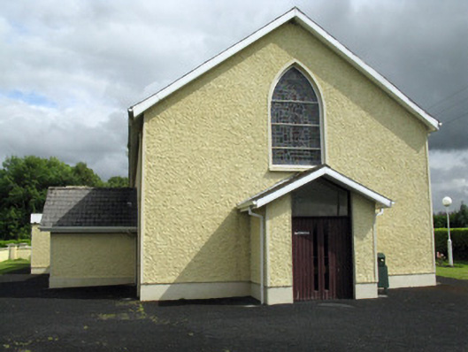 Saint Ita's Catholic Churchchurch/chapel · 782 yd
 post boxpost box · 801 yd
 Mound in CamasMound · 830 yd
 Enclosure in Ballintober EastEnclosure · 1.0 mi
 Saint Ite's WellSpring · 1.2 mi
 Dotted outlineBawn · 1.3 mi
 Ballagh MountainMountain / peak · 2.0 mi
 Glenquin CastleCastle · 2.7 mi
 ToberhoranSpring · 4.7 mi
 Mullaghareirk - Banane LoopWalking route · 4.9 mi
 Rock HillMountain / peak · 5.5 mi
 Limerick GreenwayWalking route · 6.6 mi