What is recorded here
No visible gap remains, yet the earth still marks a rounded chamber thirty-three metres across. A deep circular hole punches through the inner bank at the east-southeast, and a waterlogged ditch rings the outside like a forgotten guardrail. The fort may have had an entrance at the south-east, but the land no longer agrees on where people entered or left.
Raised circular area (int. diam 33.4m) enclosed by a substantial, although partly denuded, earthen bank and a wide, deep, partly waterlogged fosse. At ESE a deep circular hole has been dug into the inner face of the bank. An earlier report (OPW 1969) suggested that the original entrance may have been at SE.
The above description is derived from the published 'Archaeological Inventory of County Cavan' (Dublin: Stationery Office, 1995). In certain instances the entries have been revised and updated in the light of recent research.
Date of upload/revision: 22 December 2008
The monument record does not grant public access. Check the route and ask the landowner before entering private land.
- What survives
- Recorded monument
Places near here
 Derryragh FortHilltop enclosure · 680 yd
 Giants GraveArchaeological place · 1007 yd
 Saint Patrick's Catholic Churchchurch/chapel · 1195 yd
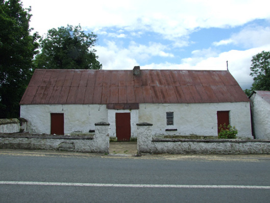 farm housefarm house · 1202 yd
 Tober PatrickHoly well · 1422 yd
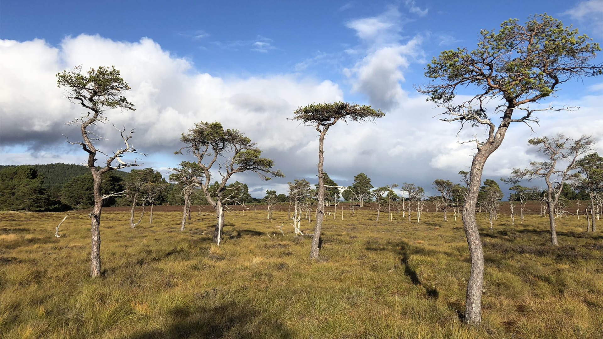 Derrycassan Bog WoodlandWood · 1711 yd
 IndicatedCastle, tower house · 1.1 mi
 Killycluggin StoneVisitor information · 1.3 mi
 Saint Mogue's IslandIslet · 1.3 mi
 Common LimeCommon Lime · 1.3 mi
 LissanoverCastle, unclassified · 1.5 mi
 DerrynigginMountain / peak · 1.8 mi