What is recorded here
Caherurlagh holds a worn earthen ring twenty-two metres wide atop a rough grazing ridge, marking one of West Cork’s oldest human claims to the land. The bank stands less than a metre high now, yet it still draws a circle around a rock outcrop and uneven ground where people once lived, buried, or played at the edge of the known world. A holed stone sits outside the eastern edge, waiting to be explained.
In rough grazing, atop E-W ridge broken by rock outcrop. Circular area (diam. 22m E-W) enclosed by worn earthen bank (H 0.7m) SW->NNW and NNE->ENE. Interior surface uneven; rock outcrop in SE quadrant. Holed stone (CO138-002002-) immediately outside E bank. (Weir 1980, 113).
The above description is derived from the published 'Archaeological Inventory of County Cork. Volume 1: West Cork' (Dublin: Stationery Office, 1992). In certain instances the entries have been revised and updated in the light of recent research.
Date of upload/revision: 14 January 2009
The monument record does not grant public access. Check the route and ask the landowner before entering private land.
- What survives
- Recorded monument
Places near here
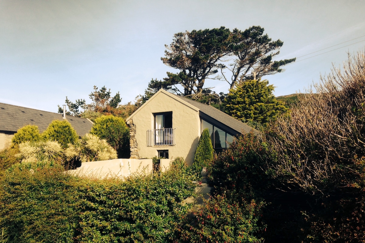 Laharandota WellHoly well · 233 yd
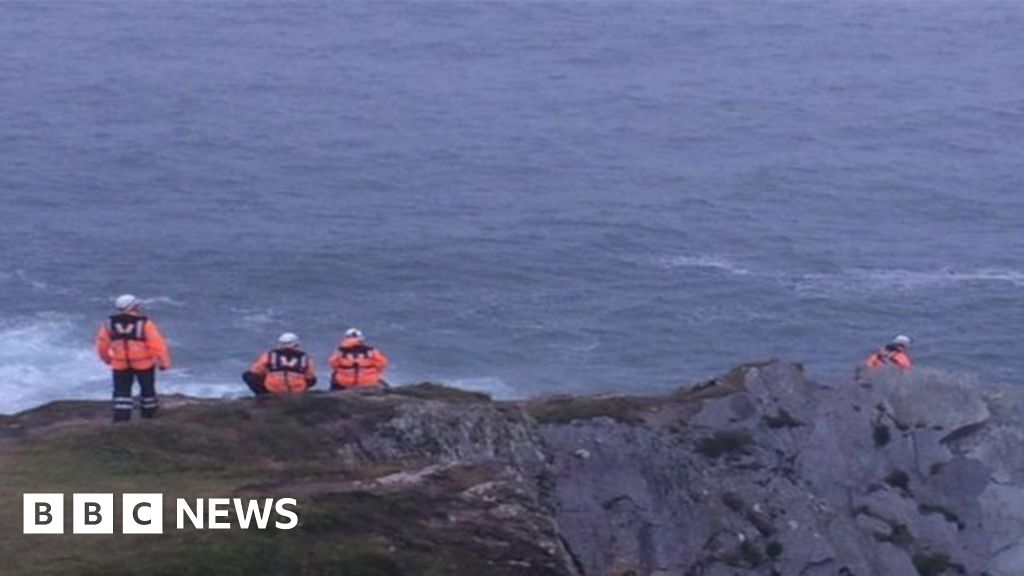 Drowning in Dunmanus BayMemorial · 1055 yd
 Sheep's Head - Cahergal LoopWalking route · 1096 yd
 Tra Ruaim Fishing SpurWalking route · 1115 yd
 IndicatedFairy fort / stone ringfort · 1306 yd
 Caher MountainMountain / peak · 1.8 mi
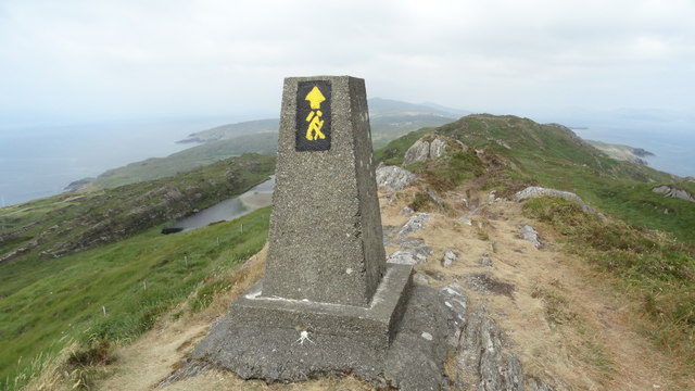 Ballyroon MountainMountain / peak · 2.4 mi
 surgery/clinicsurgery/clinic · 3.1 mi
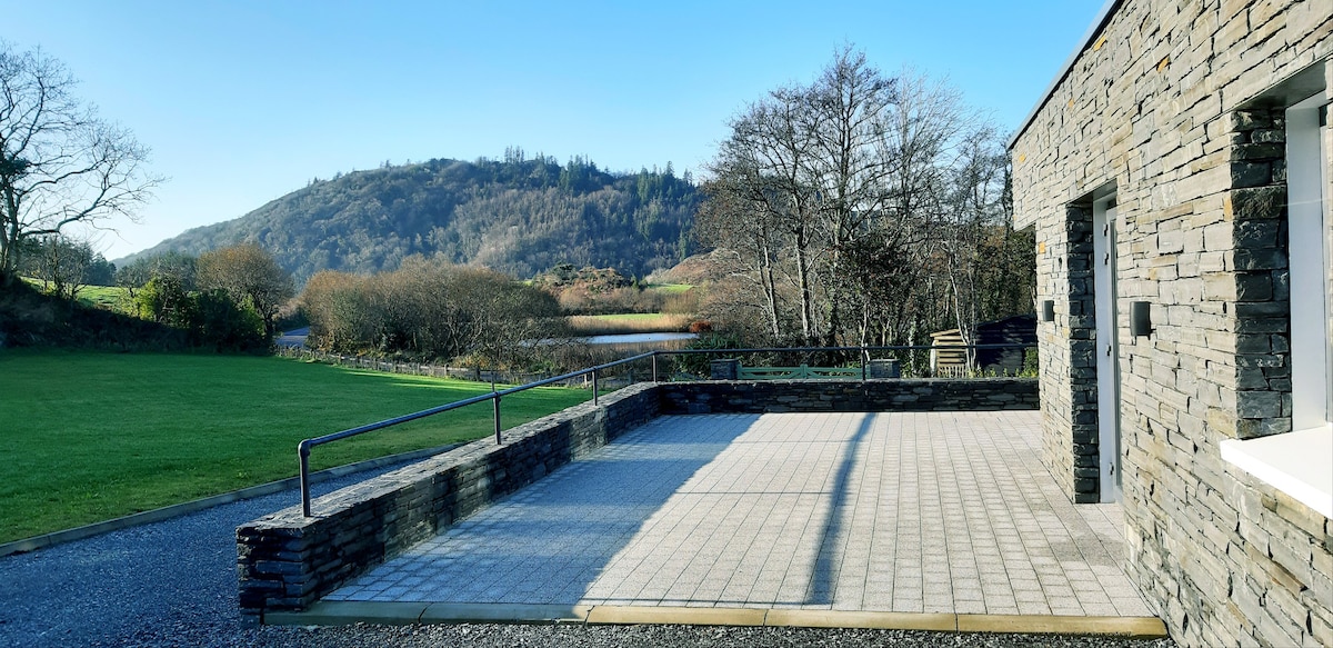 Lough Akeen Lake ViewViewpoint · 3.1 mi
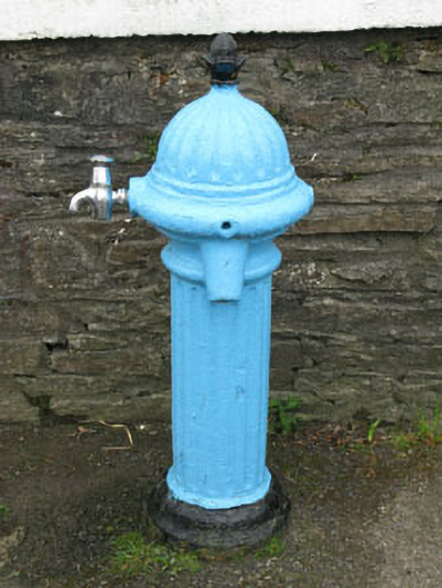 water pumpwater pump · 3.1 mi
 Mass RockMemorial · 3.2 mi
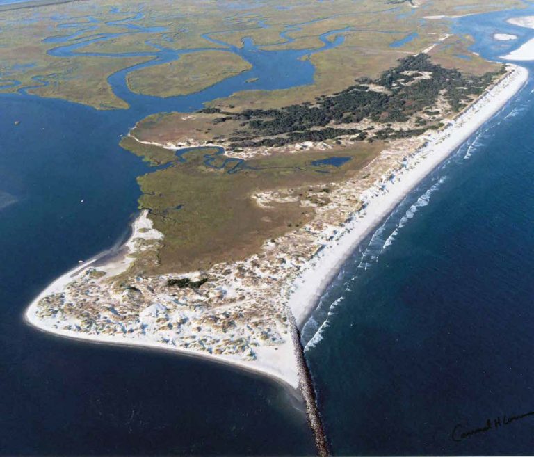 Bird IslandIslet · 3.3 mi