What is recorded here
Fairy fort in Caherhenryhoe, County Galway: a pear-shaped earthen ringfort roughly 80m by 70m on a south-facing ridge slope, marked in 1838 with a cave inside and a field boundary cutting through it. By 1984 the earthwork had mostly vanished under grass, nettle and thistle, leaving only coarse uneven ground where a lived enclosure once stood.
On the S-facing slope of a ridge in undulating grassland. Marked on the 1838 edition of the OS 6-inch map as a partially levelled pear-shaped enclosure (c. 80m N-S; c. 70m E-W) with a 'Cave' (GA097-039001-) in the SW quadrant of the interior. A roughly N-S field boundary cut through it from NW to S. On inspection in August 1984, apart from an ill-defined area of coarse uneven ground with thick nettle and thistle growth, no visible surface trace survived.
Compiled by: Galway Archaeological Survey, UCG
Date of upload: 19 July 2019
The monument record does not grant public access. Check the route and ask the landowner before entering private land.
- What survives
- Recorded monument
Places near here
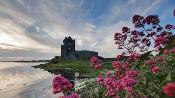 CaveMan-made underground passage · 428 yd
 Man-made underground passage in CaherhenryhoeMan-made underground passage · 459 yd
 Old Mill[Mill, corn · 507 yd
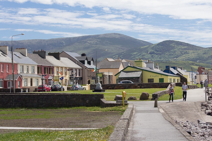 Quarry in CaherhenryhoeQuarry · 540 yd
 Bawn in Cahernamuck WestBawn · 1.2 mi
 Castle (in ruins)Castle, tower house · 1.5 mi
 Turoe StoneHeritage attraction · 2.6 mi
 Blake's IslandIslet · 2.9 mi
 Barrack IslandIslet · 3.0 mi
 Long PointHeadland · 3.9 mi
 Moyard WoodWood · 4.4 mi
 Scalpeen RockNamed rock · 7.6 mi