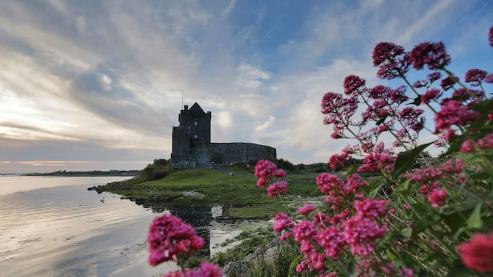
What is recorded here
Within the W half of a possible rath (GA097-040----). Named 'Cave' on the 1838 and editions of the OS 6-inch map. A band of thick grass and nettles (L 12m; Wth 3m) running NE-SW may indicate the line of the Man-made underground passage; otherwise no visible surface trace survives.
Compiled by: Galway Archaeological Survey, UCG
Date of upload: 19 July 2019
The monument record does not grant public access. Check the route and ask the landowner before entering private land.
- What survives
- Recorded monument
Places near here
 Old Mill[Mill, corn · 645 yd
 IndicatedHouse, indeterminate date · 744 yd
 Man-made underground passage in CaherhenryhoeMan-made underground passage · 885 yd
 Man-made underground passage in Carrowbaun (loughrea By.)Man-made underground passage · 899 yd
 Castle (in ruins)Castle, tower house · 1.4 mi
 Bawn in Cahernamuck WestBawn · 1.4 mi
 Turoe StoneHeritage attraction · 2.8 mi
 Blake's IslandIslet · 2.9 mi
 Barrack IslandIslet · 3.1 mi
 Long PointHeadland · 3.9 mi
 Moyard WoodWood · 4.3 mi
 Scalpeen RockNamed rock · 7.5 mi
Other information
Photo: Credit not shown in the picture search · Rights wording not checked; contact us if this picture should be removed