What is recorded here
Caherdrinny holds a broken earthen circle where human hands built a defensible home before memory faded. The bank still rises one metre above the pasture, marking the edge of a world that no longer remembers its own name.
In level pasture. Circular area (38m E-W; 36m N-S) enclosed by eroded, earthen bank (int. H 0.8m; ext. H 1.1m) NE->WSW; scarp elsewhere; external fosse (D 0.5m). Numerous breaks in bank. Second bank visible to NW appears to be remains of field boundary. Interior slopes down gently to NW.
The above description is derived from the published 'Archaeological Inventory of County Cork. Volume 4: North Cork' (Dublin: Stationery Office, 2000). In certain instances the entries have been revised and updated in the light of recent research.
Date of upload/revision: 14 January 2009
The monument record does not grant public access. Check the route and ask the landowner before entering private land.
- What survives
- Recorded monument
Places near here
 Folacht FiadhFulacht fia · 455 yd
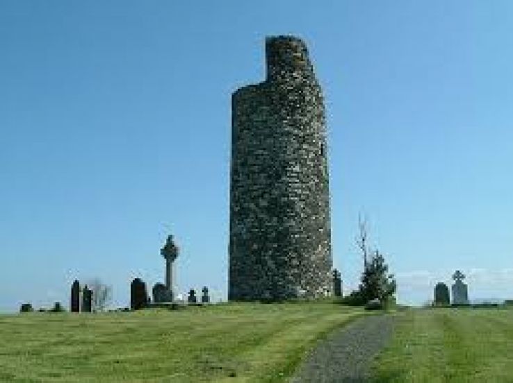 Grave YdGraveyard · 822 yd
 Caherdrinny Castle (in Ruins)Castle, tower house · 1016 yd
 FlagCave · 1.2 mi
 church/chapelchurch/chapel · 1.5 mi
 Killleenemer Church (in Ruins)Church · 1.7 mi
 Mitchelstown Town MapVisitor information · 2.7 mi
 John MandevilleMemorial · 2.7 mi
 Carriganoura Castle (in Ruins)Castle, tower house · 2.8 mi
 St Dominick's WellSpring · 3.8 mi
 Graveyard in BoherashGraveyard · 3.8 mi
 Kilclooney WoodWood · 5.4 mi