What is recorded here
Caherbarnagh held a twenty-metre earthen ring on a north-facing slope before ploughs and time erased it. The 1842 survey still draws its circular lines, proving the land once shaped itself around human life. That disappearance is not a loss but a transformation. The clay released its form, scattered into soil and memory, while the boundary vanished. What was built became invisible, not dead. The fort did not fall; it dissolved.
Shown as hachured circular enclosure (diam. c. 20m) on 1842 OS 6-inch map. In pasture, on N-facing slope. Levelled; no visible surface trace.
The above description is derived from the published 'Archaeological Inventory of County Cork. Volume 3: Mid Cork' (Dublin: Stationery Office, 1997). In certain instances the entries have been revised and updated in the light of recent research.
Date of upload/revision: 14 January 2009
The monument record does not grant public access. Check the route and ask the landowner before entering private land.
- What survives
- Recorded monument
Places near here
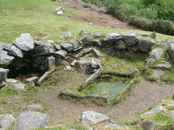 Fulacht FiadhFulacht fia · 333 yd
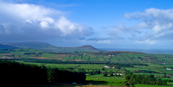 IndicatedFairy fort / stone ringfort · 609 yd
 Caherbarnagh NW TopMountain / peak · 1.1 mi
 CaherbarnaghMountain / peak · 1.2 mi
 Ballydaly Church (in Ruins)Church · 2.0 mi
 Chapel in RathduaneChapel · 2.1 mi
 Nohaval WoodWood · 3.7 mi
 Wildlife of the UplandsVisitor information · 3.9 mi
 Birds of DuhallowVisitor information · 4.0 mi
 Kilmeedy CastleCastle, tower house · 4.3 mi
 RowanRowan · 4.4 mi
 Millstreet Museum & Tourist Information CentreMuseum · 4.5 mi