What is recorded here
Fairy fort / earthen ringfort in Caheratrim (loughrea By.) stands as a circular rath about 35m wide, shaped by a bank and outside ditch on a west-facing grass slope. Its south entrance has a causeway gap, while stone fragments still show on the outer bank at the southwest. A man-made underground passage lies in the northeast quadrant of the interior, giving the fort a hidden depth beneath its ordinary field edge.
On a W-facing slope in grassland. Well-preserved circular rath (diam. c. 35m) defined by a bank and external fosse. Traces of stone-facing are visible on the outer face of the bank at SW. There is a causewayed entrance gap at S. A Man-made underground passage (GA115-016001-) lies in the NE quadrant of the interior.
Compiled by: Galway Archaeological Survey, UCG
Date of upload: 9 January 2017
The monument record does not grant public access. Check the route and ask the landowner before entering private land.
- What survives
- Recorded monument
Places near here
 CaveMan-made underground passage · 8 yd
 IndicatedFairy fort / stone ringfort · 870 yd
 Site of CastleCastle, unclassified · 1017 yd
 Soldier's Bridgebridge · 1.2 mi
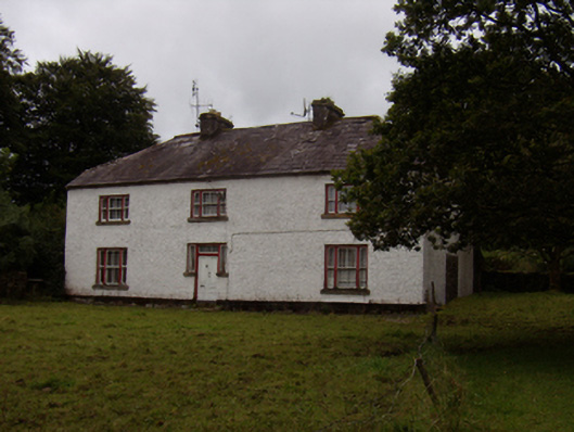 Abbeyville Househouse · 1.3 mi
 CastleCastle, tower house · 1.9 mi
 Ash IslandIslet · 1.9 mi
 Island McCooIslet · 2.3 mi
 Long PointHeadland · 2.6 mi
 Scalpeen RockNamed rock · 2.7 mi
 KnockapollboyMountain / peak · 4.2 mi
 Fulacht fia in BallycoonyFulacht fia · 1105 yd