What is recorded here
Fairy fort in Cabra, County Cavan: a roughly circular earthen enclosure split by a NE-SW roadway, marked “Fort” on the 1836 and 1876 maps. The larger western part was levelled after 1913; the smaller eastern part lies under modern farm buildings on the drumlin’s shoulder. Nothing remains visible at ground level, but the fort still holds its shape in memory: a ring of soil, road and forgetting.
Marked 'Fort' and depicted on OS 1836 and 1876 eds. as a roughly circular enclosure divided into unequal portions by a roadway aligned NE-SW. On the 1913 OS ed. only the larger portion of the site, WNW of the roadway is depicted. This has since been levelled. The smaller area ESE of the roadway is now occupied by modern farm buildings. Situated on the SW shoulder of a high drumlin ridge. Not visible at ground level.
The above description is derived from the published 'Archaeological Inventory of County Cavan' (Dublin: Stationery Office, 1995). In certain instances the entries have been revised and updated in the light of recent research.
Date of upload/revision: 22 December 2008
A fairy fort or earthen ringfort in Cabra is a likely early-medieval circular enclosure, partially depicted on Ordnance Survey maps from 1836 to 1913, with a roadway dividing it. Local tradition associates such sites with fairy folklore, and they were often considered sacred or supernatural places in Irish tradition.
The monument record does not grant public access. Check the route and ask the landowner before entering private land.
- What survives
- Recorded monument
Places near here
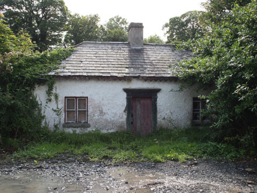 gate lodgegate lodge · 287 yd
 CabraMountain / peak · 384 yd
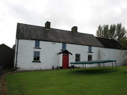 farm housefarm house · 510 yd
 Dún a Rí Forest ParkForest · 553 yd
 Ice HouseArchaeological place · 609 yd
 Castle ruinsCastle, unclassified · 750 yd
 In Memory of Our DadMemorial · 779 yd
 Horse-chestnutHorse-chestnut · 843 yd
 Natural Play AreaMemorial · 904 yd
 ToberarneyHoly well · 1.5 mi
 BarleyhillMountain / peak · 1.6 mi
 Castle in ruinsCastle, unclassified · 2.5 mi