What is recorded here
No. Retire the claim and remember the refusal.
In tillage. Shown on the 1st ed. (1839) of the OS 6-inch map as an oval area (est. max. c. 40m NNW-SE; c. 30m ENE-WSW) enclosed by a bank. While no visible surface trace survives, the faint cropmark of a fosse defining a curvilinear enclosure is visible on a 1989 aerial photograph (GB89.AI.07).
Compiled by: Gearóid Conroy
Date of upload: 23 December 2013
The monument record does not grant public access. Check the route and ask the landowner before entering private land.
- What survives
- Recorded monument
Places near here
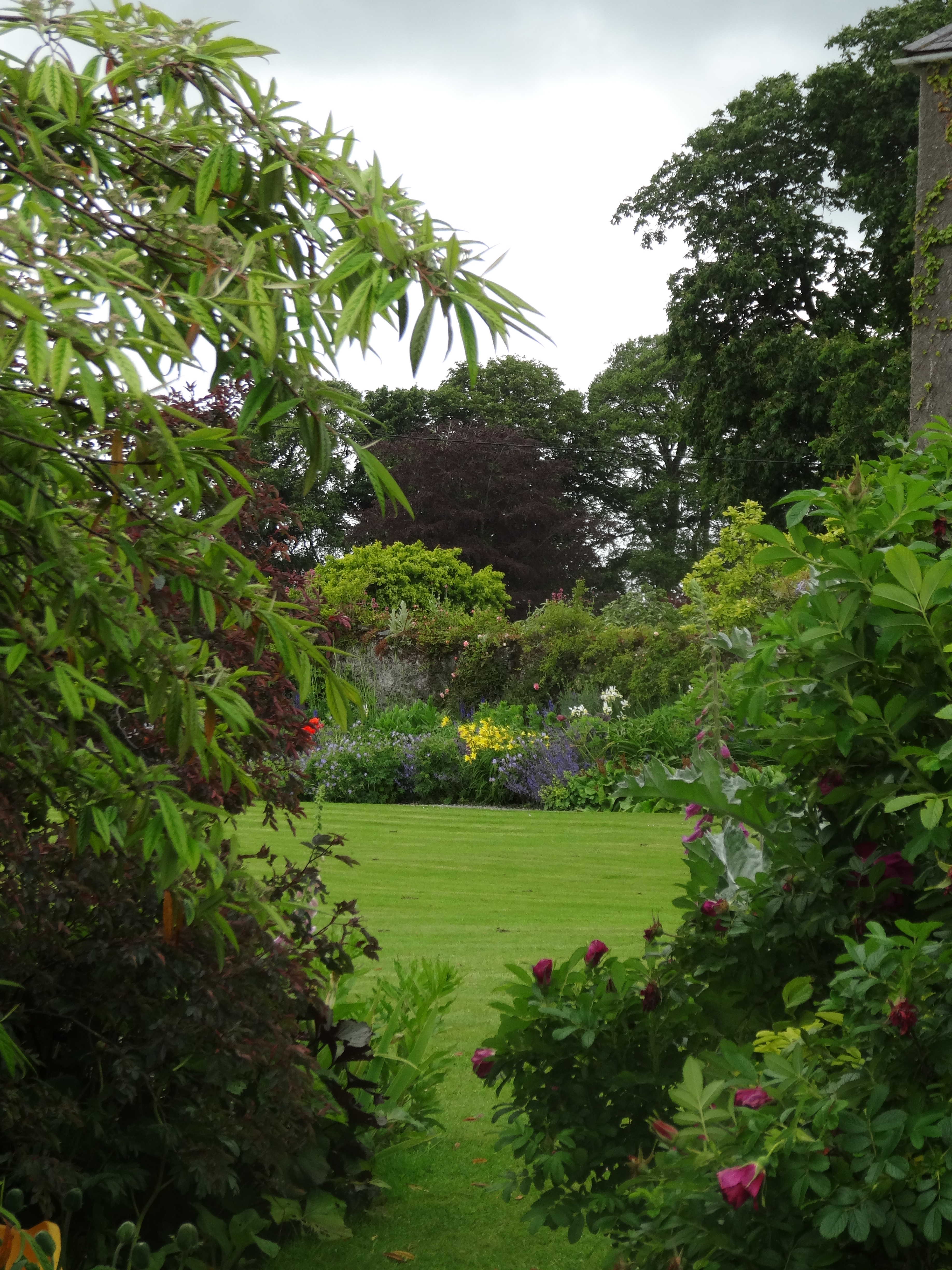 Enclosure in Burtown BigEnclosure · 157 yd
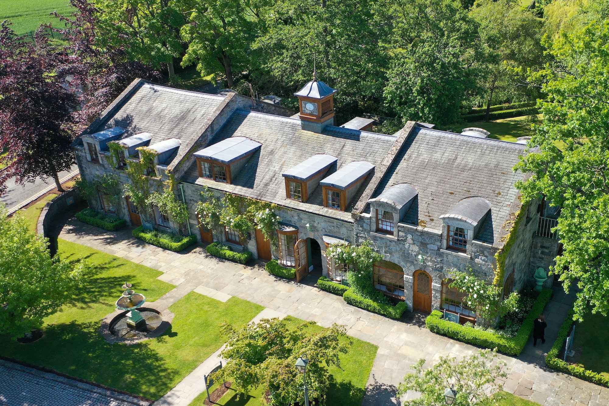 Enclosure in IrishtownEnclosure · 518 yd
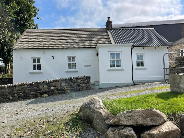 Ballycullane WoodForest · 539 yd
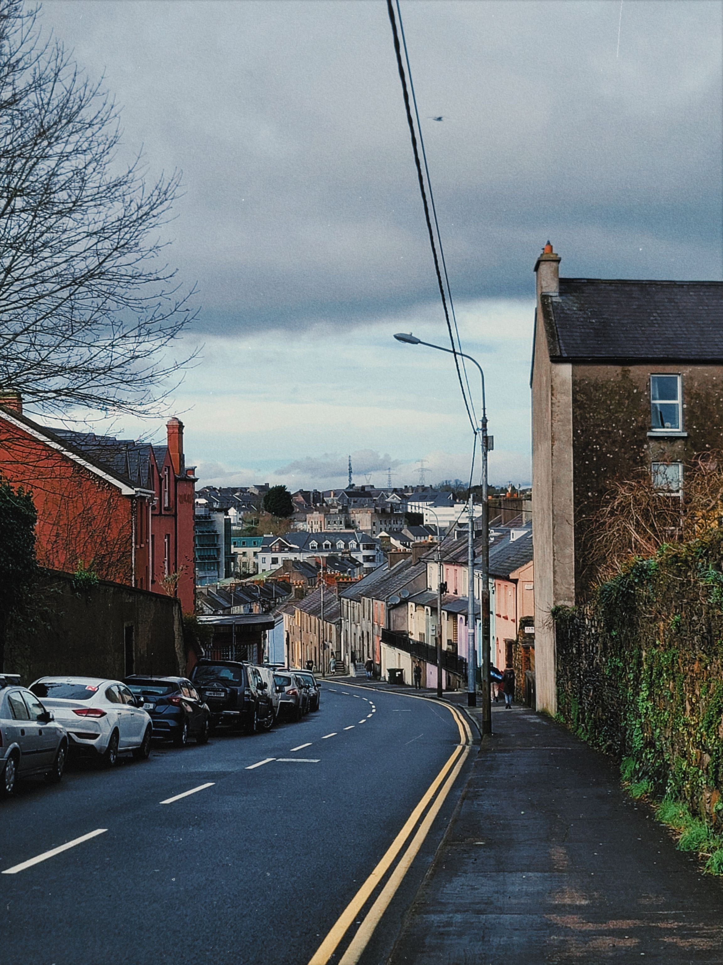 Irishtown WoodWood · 1060 yd
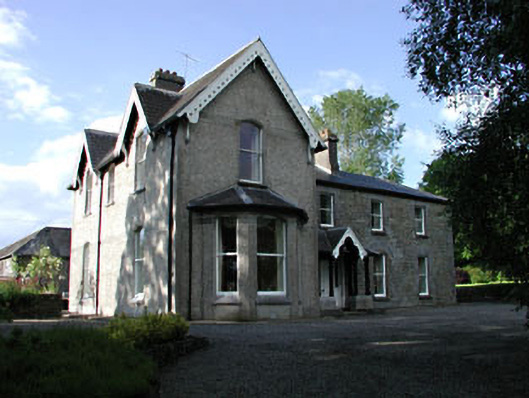 Burtownfarm house · 1225 yd
 Inch CastleCastle, tower house · 1609 yd
 Burtown House and GardensHeritage attraction · 1.0 mi
 Whitechurch (in Ruins)Church · 1.1 mi
 Gorden Bennet Race memorialMemorial · 2.5 mi
 History of Moat of ArdscullVisitor information · 2.5 mi
 Ardscull MoatCastle, motte · 2.6 mi
 1798 memorialMemorial · 3.7 mi