What is recorded here
Fairy fort in Burtonstown, County Meath: a circular earthen enclosure about fifty metres across, with a second inner ditch and a possible rectangular annexe at the southeast, standing on a slight east-west spur. People called it a fairy fort because such rings often seemed to belong less to living neighbours than to older, unseen company. Maybe it was a farmstead, a refuge, or a boundary marker for a forgotten field; maybe the fairies only borrowed it later.
Located at the tip of a slight E-W spur. The cropmark of a circular enclosure (int. diam. c. 50m) defined by a distinct fosse (Wth c. 2-5m) is visible only on an OSI aerial image (1995). A second fosse c. 5m inside the outer is visible N-E and what might be a rectangular annexe (dims c. 40m NW-SE; c. 27m E-W) defined by a single fosse is attached at SE. The enclosure was first reported by Colin Byrne.
See the attached enhanced view from OSI images (1995)
Compiled by: Michael Moore
Date of upload: 20 April 2023
The monument record does not grant public access. Check the route and ask the landowner before entering private land.
- What survives
- Recorded monument
Places near here
 Enclosure in BurtonstownEnclosure · 596 yd
 Fairy fort / earthen ringfort in DanestownFairy fort / earthen ringfort · 772 yd
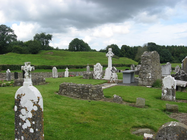 RuinChurch · 813 yd
 European BeechEuropean Beech · 860 yd
 Saint Mary's Church (Kentstown)church/chapel · 1094 yd
 European ashEuropean ash · 1327 yd
 CastleCastle, tower house · 2.0 mi
 Site of Old CastleCastle, unclassified · 2.6 mi
 Candle HillMountain / peak · 2.8 mi
 PuddenhillHeritage attraction · 4.1 mi
 Hill of TaraVisitor information · 4.9 mi
 Saint Patrick'sMemorial · 5.0 mi