What is recorded here
No visible surface trace survives, yet a ringfort and chambered grave still mark the grassland, proving the fort was real before it vanished. The fairies may have taken the stones back, but human hands built the circle, lived inside it, and left it behind. Bunnaconeen keeps both truths at once: the danger of forgetting and the mischief of fairy tale.
On a slight rise in grassland. Marked on 1st ed. of OS 6-inch map as a circular enclosure (D c. 40m); no visible surface trace survives. A CBG (GA042-043001-) is associated. A ringfort (GA042-042----) lies c. 100m to SW.
The above description is derived from the published 'Archaeological Inventory of County Galway Vol. II - North Galway'. Compiled by Olive Alcock, Kathy de hÓra and Paul Gosling (Dublin: Stationery Office, 1999).
Date of upload: 05 August 2010
The monument record does not grant public access. Check the route and ask the landowner before entering private land.
- What survives
- Recorded monument
Places near here
 LisheenArchaeological place · 18 yd
 DoonFairy fort / earthen ringfort · 782 yd
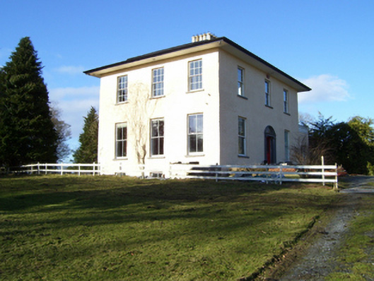 The Rectoryrectory/glebe/vicarage/curate's house · 1014 yd
 Church of Saint John the Baptist (Killursa)church/chapel · 1537 yd
 Headford CastleCastle, unclassified · 1.3 mi
 Moyne Castle in ruinsCastle, unclassified · 1.7 mi
 Ross Errilly FriaryHeritage attraction · 2.1 mi
 Kilcoona Round TowerHeritage attraction · 3.5 mi
 Pesooge PlantationForest · 3.5 mi
 Cregg PlantationForest · 3.5 mi
 Walsh's IslandIslet · 4.7 mi
 Freeheen IslandIslet · 6.2 mi