What is recorded here
Bunnaconeen holds a broken fairy fort where a trackway and field walls cut through its earthen ring. The surviving bank marks only part of a much larger circle, suggesting human hands built and reused the site before memory faded.
On a SE-facing slope in grassland. Poorly preserved circular rath (D 37m) defined by a denuded bank, no visible surface trace of which survives from W through N to NE. A trackway cuts the monument at N and NE, and a number of field walls overlie the enclosing element. A CBG (GA042-042001-) is associated. An earthwork (GA042-043----) and CBG (GA042-043001-) lie c. 100m to NE.
The above description is derived from the published 'Archaeological Inventory of County Galway Vol. II - North Galway'. Compiled by Olive Alcock, Kathy de hÓra and Paul Gosling (Dublin: Stationery Office, 1999).
Date of upload: 05 August 2010
The monument record does not grant public access. Check the route and ask the landowner before entering private land.
- What survives
- Recorded monument
Places near here
 LisheenArchaeological place · 161 yd
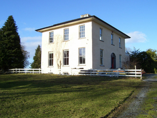 The Rectoryrectory/glebe/vicarage/curate's house · 858 yd
 DoonFairy fort / earthen ringfort · 909 yd
 Church of Saint John the Baptist (Killursa)church/chapel · 1382 yd
 Headford CastleCastle, unclassified · 1.3 mi
 Moyne Castle in ruinsCastle, unclassified · 1.6 mi
 Ross Errilly FriaryHeritage attraction · 2.0 mi
 Kilcoona Round TowerHeritage attraction · 3.4 mi
 Cregg PlantationForest · 3.6 mi
 Pesooge PlantationForest · 3.6 mi
 Walsh's IslandIslet · 4.6 mi
 Ballinduff BayBay · 5.1 mi