What is recorded here
Buckstown holds a broken earthen ring where a tall bank still borders a shallow ditch. The missing section may have marked an entrance, while the remaining curve suggests a small residence or exclusion boundary. Farming has softened the edges, but the circle still resists forgetting.
In tillage, on E-facing slope. Depicted as hachured circular enclosure on 1935 OS 6-inch map. Arc (NE-S) survives, formed by earthen bank (H 1.8m) with external fosse. Break in bank ENE->ESE; causeway across fosse to E. Slight depression marks line of fosse S->NE.
The above description is derived from the published 'Archaeological Inventory of County Cork. Volume 2: East and South Cork' (Dublin: Stationery Office, 1994). In certain instances the entries have been revised and updated in the light of recent research.
Date of upload/revision: 14 January 2009
The monument record does not grant public access. Check the route and ask the landowner before entering private land.
- What survives
- Recorded monument
Places near here
 St Marys Catholic ChurchChurch · 1001 yd
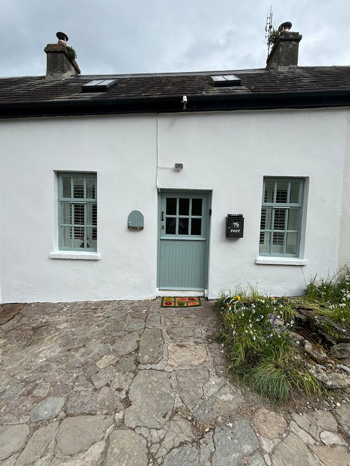 Enclosure in BallynookeryEnclosure · 1167 yd
 Enclosure in KnockboghilEnclosure · 1239 yd
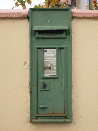 post boxpost box · 1.2 mi
 Graveyard in AghadaGraveyard · 1.4 mi
 CastleCastle, unclassified · 1.6 mi
 (Site of) CastleCastle, unclassified · 1.7 mi
 RobertMemorial · 1.7 mi
 US Naval Air Station USNAS QueenstownHeritage attraction · 1.7 mi
 Church Bay BeachBeach / strand · 4.5 mi
 The BenchViewpoint · 4.5 mi
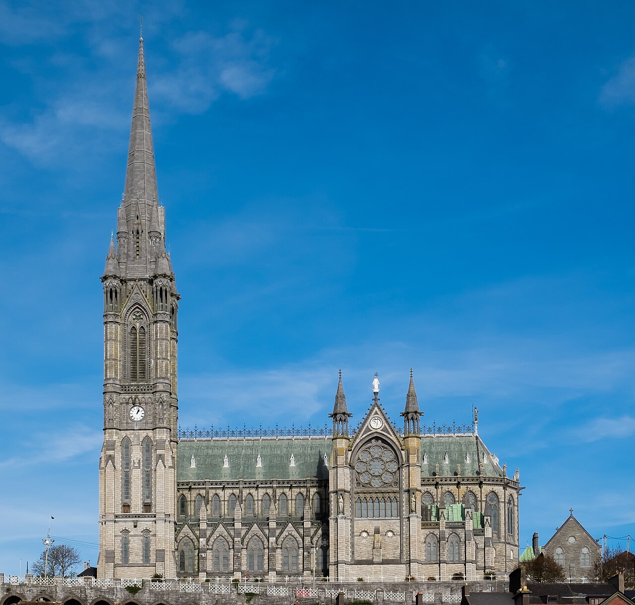 Saint Colman's Cathedral, CobhCathedral · 4.9 mi