What is recorded here
Moss has swallowed the fort's double rings, yet the SSE gap still points toward the horizon like a waiting door. Humans may have built the banks to keep out rain or raiders, but the fairies clearly rejected such cramped geometry and claimed the wood instead. The fort remains a boundary marker, reminding mortals that even ordinary soil belongs to older tenants.
Located on a short SE-NW spur within a small deciduous woodland annotated as ‘Cherburg Wood’ on the 1938 and 1908 editions of the OS 6-inch maps. This is a raised circular area (diam. 34.5m NNE-SSW; 33m WNW-ESE) defined by an earthen bank (at ESE: Wth of base 7m; int. H 0.6m; ext. H 1.2m) separated by a fosse or berm (Wth 6m) from an outer bank (at ESE: Wth of base 3m; ext. H 1.5m), and outer fosse or drain (at ESE: Wth of top 4.5m; Wth of base 1.5m; ext. D 0.3m) that is only visible N-SE. Elsewhere the berm and outer bank merge into a berm (at WNW Wth 8.5m) defined by a scarp (at WNW: Wth 2.5m; H 1.8m). There is an entrance (Wth of base 1.5m) in the inner bank at SSE (max. ext. diam. 64m WNW-ESE).
The above description is derived from the published 'Archaeological Inventory of County Meath' (Dublin: Stationery Office, 1987). In certain instances the entries have been revised and updated in the light of recent research.
Compiled by: Michael Moore
Date of revision: 5 September 2018
Amended: 14 December 2022
The monument record does not grant public access. Check the route and ask the landowner before entering private land.
- What survives
- Recorded monument
Places near here
 Cherburg WoodForest · 160 yd
 LisnacrossFairy fort / earthen ringfort · 257 yd
 Common LimeCommon Lime · 328 yd
 IndicatedFairy fort / earthen ringfort · 488 yd
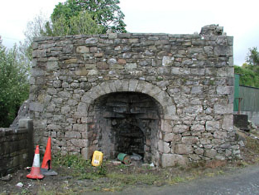 Bridge Farmkiln · 1372 yd
 Nobber Bridgebridge · 1387 yd
 MoatCastle, motte and bailey · 1441 yd
 Gallows HillMountain / peak · 1479 yd
 Nobber GreenwayMemorial · 1534 yd
 Bawn in Robertstown (kells Lower By.)Bawn · 1.9 mi
 HeadstownMountain / peak · 2.1 mi
 Owenroe and Moynalty DrainageMemorial · 2.7 mi