What is recorded here
Fairy forts conceal human history under marvelous names. In Brittas, a hidden oval of packed earth waits beneath scrub on a damp northern slope. Its shallow scarped edge still marks the boundary of a small dwelling or exclusion zone from the remote past. The wilderness has not erased the shape, but it has removed the certainty of what the shape meant.
Situated on a N-facing slope in poorly-drained, undulating pasture. The monument is heavily obscured by dense scrub vegetation. It is evident as a sub-oval area (c. 30m N-S; 20m E-W) defined by a scarped edge (Wth 2.55m; H 0.6m).
Compiled by: Denis Power
Date of upload: 21 June 2013
The monument record does not grant public access. Check the route and ask the landowner before entering private land.
- What survives
- Recorded monument
Places near here
 Brittas Bridgebridge · 579 yd
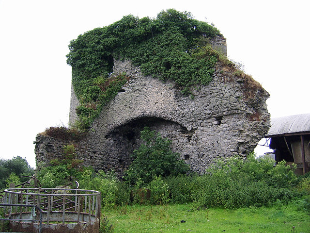
 Castle (in ruins)Castle, Anglo-Norman masonry castle · 629 yd
 CastleCastle, motte and bailey · 647 yd
 Eyon Housecountry house · 1472 yd
 Enclosure in Grange EastEnclosure · 1495 yd
 Enclosure in BallyartEnclosure · 1515 yd
 Graveyard in AbingtonGraveyard · 1.5 mi
 Sliev Felim WayVisitor information · 2.8 mi
 KnockseefinMountain / peak · 4.1 mi
 ToberagaddySpring · 4.9 mi
 Slieve Felim WayWalking route · 5.2 mi
 St. Patrick's WellSpring · 5.9 mi