What is recorded here
Fairy fort is a circular grass ring, twenty-three metres across, defined by a four-metre earthen bank and a water-logged outer ditch. It sits on the southwest tip of a narrow spur, with a southern entrance and causeway still visible through the hedge and trees. The name suggests people once believed the fairies lived there rather than humans, yet the solid earth and deliberate shape point to a real home, a refuge or a marker for a local family.
Situated on the SW tip of a NE-SW spur. This is a circular grass-covered area (diam. c. 23m) defined by an earthen bank (Wth c. 4m; int. H c. 0.7m; ext. H 2-2.7m) and hedge with trees and a complete outer fosse (at E: Wth of base 3.5m; ext. D 0.6m) that is frequently water-logged. The original entrance (Wth of base 2.7m) and causeway (Wth of top 4.9m; H c. 1m) are at S.
The above description is derived from the published 'Archaeological Inventory of County Monaghan' (Dublin: Stationery Office, 1986). In certain instances the entries have been revised and updated in the light of recent research.
Revised by: Michael Moore
Date of revision: 9 May 2018
The monument record does not grant public access. Check the route and ask the landowner before entering private land.
- What survives
- Recorded monument
Places near here
 Lurganboy fortFairy fort / earthen ringfort · 1001 yd
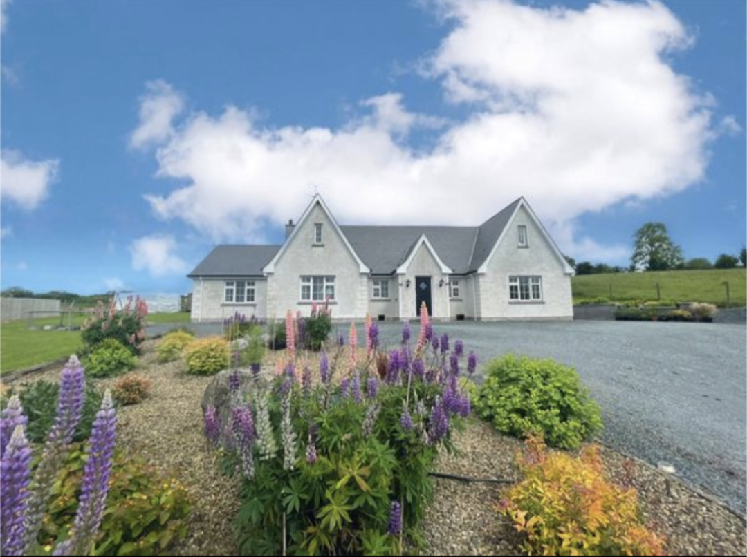 IndicatedFairy fort / earthen ringfort · 1006 yd
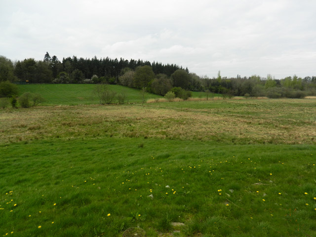 Carn WoodForest · 1.1 mi
 Cush WoodWood · 1.2 mi
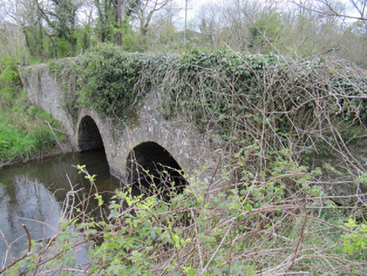 bridgebridge · 1.3 mi
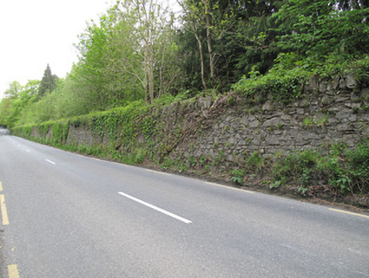 Hilton Parkdemesne walls/gates/railings · 1.3 mi
 LattacrossanMountain / peak · 1.7 mi
 CallowhillMountain / peak · 2.6 mi
 Drumcarn Ho.Castle, unclassified · 4.1 mi
 Saint John's WellSpring · 4.2 mi
 Bawn in DrumsheilBawn · 4.2 mi
 Giant's GraveArchaeological place · 5.0 mi