What is recorded here
Fairy fort / earthen ringfort in Brickendown is a fairy fort or earthen ringfort in Brickendown, County Tipperary, Ireland. The oval site spans 40 metres north to south and 35 metres east to west, defined by a substantial bank that rises 3.45 metres above the outside ground. A flat-bottomed ditch surrounds the interior, which remains raised 2.6 metres above the exterior and slopes gently toward the south.
In gently undulating pasture, on top of low rise. Oval area (dims. 40m N-S; 35m E-W) defined by substantial bank (overall Wth 8.55m; Wth at top 1.6m; int. H 0.85m; ext. H 3.45m). Gap (overall Wth 5.5m; basal Wth 2m) E-ESE. Flat-bottomed fosse (overall Wth 8.45m; basal Wth 3.25m; D 0.15m). Interior is raised (H 2.6m) above exterior ground level and is sloping downwards gently to S. Round-topped field boundary (overall Wth 2.5m; int. H 1.1m; ext. H 0.95m) respects monument SW-NW and levelled remains of field boundary (Wth 1.5m; int. H 0.6m; ext. H 0.2m) NE-ESE.
Compiled by: Jean Farrelly
Date of upload: 26 August 2011
The monument record does not grant public access. Check the route and ask the landowner before entering private land.
- What survives
- Recorded monument
Places near here
 CrossCross, Wayside cross (present location) · 961 yd
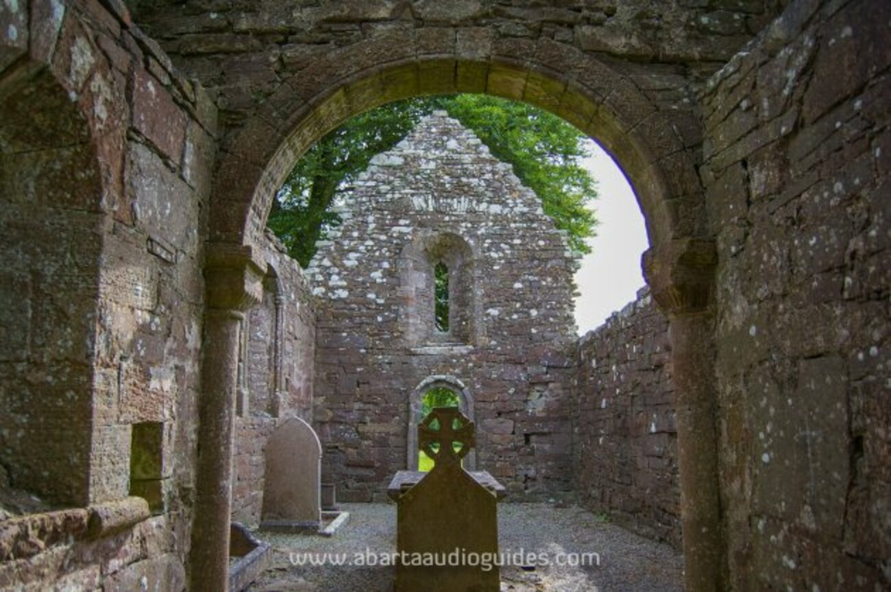 Enclosure in MonameaghEnclosure · 981 yd
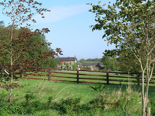 Mayfield Househouse · 1133 yd
 CastleCastle, ringwork and bailey · 1154 yd
 Brickendown Church (in ruins)Church · 1271 yd
 Meldrum Castle (ruins)Castle · 1699 yd
 Ballyknock HillMountain / peak · 2.6 mi
 Cashel Folk MusuemMuseum · 2.9 mi
 Black mulberryBlack mulberry · 3.0 mi
 The Rock Of CashelVisitor information · 3.0 mi
 Cormac's ChapelHeritage attraction · 3.1 mi
 Enclosure in MeldrumEnclosure · 1114 yd