What is recorded here
Fairy fort in Brickeens, County Longford: a 26.2m earthen ring on a low hillock, mapped as a fort in 1837, with another rath thirty-three metres away. Scrub now strangles the entrance and the field boundary cuts across its west side, as if the fort were both hidden and still occupying the land. People may have lived, buried memories or simply avoided the place; the earth keeps its shape regardless.
On a low but prominent hillock. Depicted as a circular enclosure with the designation 'Fort' on the 1837 ed. of the OS 6-inch map. A raised circular area (diam. 26.2m) defined by a scarp (H 0.8-1.7m). There is no trace of a fosse. A field boundary skirts it from SW-W-WNW. The original entrance is not recognisable. The monument is densely overgrown with scrub. A rath (LF018-040----) lies c. 33m to the WNW.
Compiled by: Patrick F. O'Donovan
Date of upload: 18 January 2012
This remains an important historical record, but the official description says the monument is no longer visible or has been destroyed. The monument record does not grant public access. Check the route and ask the landowner before entering private land.
- What survives
- No visible remains or recorded as destroyed
Places near here
 Chapel (in Ruins)Church · 1119 yd
 Site of Kers GraveMegalithic tomb · 1210 yd
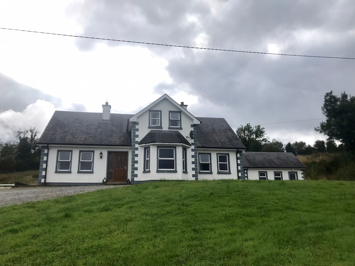 IndicatedBawn · 1598 yd
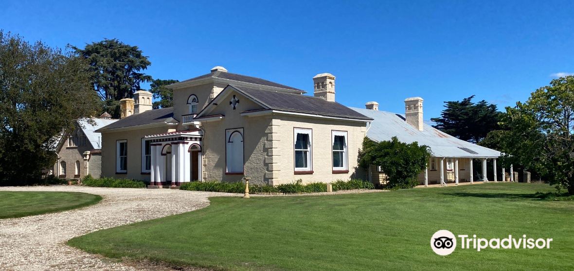 Enclosure in CaldraghmoreEnclosure · 1.0 mi
 Lyneen Bridgebridge · 1.1 mi
 Bawn in BallyknockBawn · 1.5 mi
 Graveyard in Curry (ardagh By., Coolamber Ed)Graveyard · 1.9 mi
 First World War MemorialMemorial · 4.6 mi
 Saint Mel's CathedralCathedral · 4.7 mi
 Commons North WalkVisitor information · 6.9 mi
 White Sand WoodWood · 6.9 mi
 Wild birdsVisitor information · 7.0 mi