What is recorded here
Much of the fort has vanished under pasture and plough, but the surviving arc of earth and stone still marks the boundary between the ordinary field and the hidden world. The fairies likely built the ring to keep their own affairs separate from human sight, yet they forgot to seal every gap. That is why Brickeens still feels slightly crowded, as if unseen neighbours move through the land without asking permission.
On a gentle NW-facing slope in pasture. Depicted as a subcircular enclosure with the designation 'Fort' on the 1837 ed. of the OS 6-inch map. A report in 1976 (SMR file) recorded a much-disturbed, raised, oval area (c. 28m NW-SE; c. 22m NE-SW) enclosed by fragmentary remains of a low bank of earth and stone. There was no trace of a fosse and the original entrance was not recognisable. The only original feature surviving is a low bank of earth and stone extending in an arc from W-N-NNE. The rest of the circuit is defined by modern, drystone-built field boundaries. A possible rath (LF018-041----) lies c. 33m to the ESE.
Compiled by: Patrick F. O'Donovan
Date of upload: 18 January 2012
The monument record does not grant public access. Check the route and ask the landowner before entering private land.
- What survives
- Recorded monument
Places near here
 Chapel (in Ruins)Church · 973 yd
 Site of Kers GraveMegalithic tomb · 1321 yd
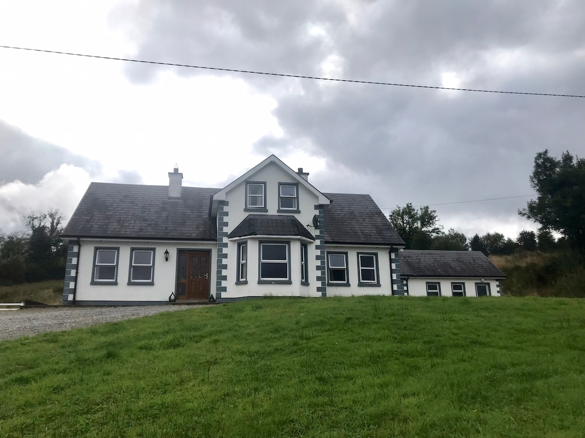 IndicatedBawn · 1448 yd
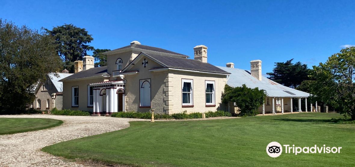 Enclosure in CaldraghmoreEnclosure · 1.0 mi
 Lyneen Bridgebridge · 1.1 mi
 Bawn in BallyknockBawn · 1.5 mi
 Graveyard in Curry (ardagh By., Coolamber Ed)Graveyard · 1.9 mi
 First World War MemorialMemorial · 4.6 mi
 Saint Mel's CathedralCathedral · 4.8 mi
 Commons North WalkVisitor information · 6.9 mi
 White Sand WoodWood · 6.9 mi
 Wild birdsVisitor information · 6.9 mi