What is recorded here
Fairy fort / earthen ringfort in Brickeen is a fairy fort or earthen ringfort in Brickeen, County Sligo, Ireland. It occupies rough pasture on a low rise near the west shore of Lough Arrow. A sixteen-metre circular area holds an eroded two-metre earthen bank along its south, west and north edges, while a scarp marks the east side. Remnants of internal and external stone kerbing appear in places along the bank.
In rough pasture, on a low rise near the W shore of Lough Arrow. A slightly raised circular area (diam. 16m) enclosed by an eroded earthen bank (Wth 2m; int. H 0.3m; ext. H 0.8m) along the S, W and N arcs and by a scarp along the E arc. The remains of internal and external stone kerbing were noted in places along the bank. The interior is level. There is a pile of loose field clearance stones in the SE quadrant.
The above description is derived from the published 'Archaeological Inventory of County Sligo' compiled by Ursula Egan, Elizabeth Byrne, Mary Sleeman with Sheila Ronan and Connie Murphy (Dublin Stationery Office, 2005).
Date of upload: 18 January 2008
The monument record does not grant public access. Check the route and ask the landowner before entering private land.
- What survives
- Recorded monument
Places near here
 Enclosure in BrickeenEnclosure · 162 yd
 Annaghgowla IslandIslet · 708 yd
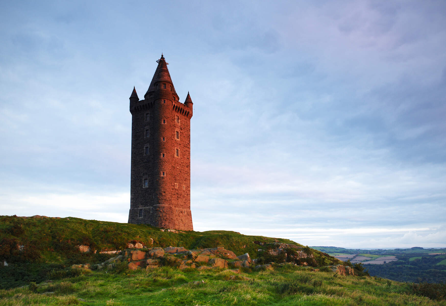 Tower (in Ruins)Structure · 741 yd
 Castle BaldwinCastle · 1452 yd
 Castlebaldwincastle/fortified house · 1453 yd
 TumulusCastle, motte · 1491 yd
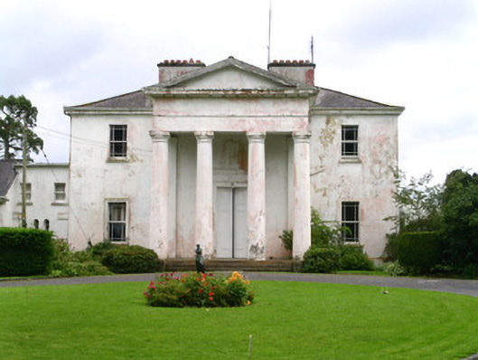 Ballindoon Housecountry house · 1554 yd
 InishmoreIslet · 1622 yd
 Bricklieve MountainsMountain / peak · 1.7 mi
 Loughbrick BayBay · 2.1 mi
 Carricknahorna EastMountain / peak · 2.1 mi
 Treanscrabbagh caveCave · 2.2 mi