What is recorded here
Fairy fort / earthen ringfort in Brickeen is a fairy fort or earthen ringfort in Brickeen, County Sligo, Ireland. The raised circular area spans twenty metres and stands one point six metres high near the base of a southwest-facing ridge slope. An east-west road cuts through the northern section while the eastern and southeast arcs form field boundaries.
In pasture, near the base of a SW-facing slope of a ridge. A raised circular area (diam. 20m) defined by a scarp (H 1.6m). An E-W road cuts through the rath at N. The E and SE arcs are incorporated into field boundaries.
The above description is derived from the published 'Archaeological Inventory of County Sligo' compiled by Ursula Egan, Elizabeth Byrne, Mary Sleeman with Sheila Ronan and Connie Murphy (Dublin Stationery Office, 2005).
Date of upload: 18 January 2008
The monument record does not grant public access. Check the route and ask the landowner before entering private land.
- What survives
- Recorded monument
Places near here
 Enclosure in BrickeenEnclosure · 597 yd
 Enclosure in Cloghoge LowerEnclosure · 709 yd
 Castle BaldwinCastle · 771 yd
 Castlebaldwincastle/fortified house · 772 yd
 Annaghgowla IslandIslet · 1450 yd
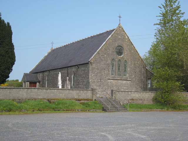 Saint Patrick's Catholic Churchchurch/chapel · 1.1 mi
 TumulusCastle, motte · 1.3 mi
 InishmoreIslet · 1.3 mi
 Bricklieve MountainsMountain / peak · 1.5 mi
 Treanscrabbagh caveCave · 1.9 mi
 Carricknahorna EastMountain / peak · 2.1 mi
 Loughbrick BayBay · 2.5 mi