What is recorded here
Fairy fort in Bregoge, County Cork: a circular earthen enclosure about forty metres across, mapped repeatedly from 1842 to 1937, then levelled around 1969. The east bank still lives inside a worn field fence, hidden by growth on an NE-facing pasture slope. People called it a fairy fort because such rings often seemed to belong elsewhere before becoming human property; perhaps that is why it was removed so quickly once the land changed hands.
In pasture, on NE-facing slope. Depicted as hachured circular enclosure (diam. c. 40m) on 1842, 1905 and 1937 OS 6-inch maps; interior planted with trees on 1842 OS 6-inch map. According to local information, levelled c. 1969. Field fence to E, which incorporated short portion of E bank, survives as worn earthen fence; heavily overgrown.
The above description is derived from the published 'Archaeological Inventory of County Cork. Volume 4: North Cork' (Dublin: Stationery Office, 2000). In certain instances the entries have been revised and updated in the light of recent research.
Date of upload/revision: 14 January 2009
The monument record does not grant public access. Check the route and ask the landowner before entering private land.
- What survives
- Recorded monument
Places near here
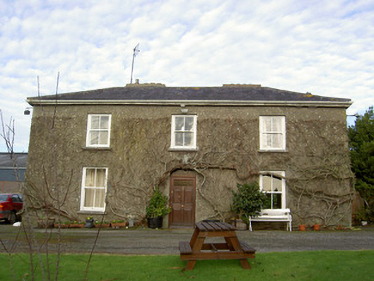 Glenville Househouse · 495 yd
 store/warehousestore/warehouse · 944 yd
 Buttevant Rail DisasterMemorial · 1009 yd
 IndicatedEnclosure · 1016 yd
 Mound in RathclareMound · 1506 yd
 David HurleyMemorial · 1.1 mi
 SycamoreSycamore · 1.1 mi
 Lombards CastleCastle, tower house · 1.1 mi
 Templeconnell Castle (in Ruins)Castle, tower house · 1.4 mi
 Churchtown TrailsVisitor information · 1.9 mi
 Lady's WellSpring · 2.4 mi
 Smith's WellSpring · 4.5 mi