What is recorded here
De Paor dug into the Breany fort in 1967 and uncovered scattered post-holes, iron slag, knives and a broken quernstone. The facts record human smoke and tool work inside the earthworks, not fairy mischief. The fort is a trivallate ringfort with two banks and three fosses around a raised circular platform. It is a place where people lived, made things and left behind the ordinary debris of daily life.
In low-lying, level pasture. This trivallate ringfort is defined by a raised circular platform (diam. c. 36m; H 1m) that is surrounded by two banks and three fosses. The innermost fosse (Wth 5.2m) is flat bottomed, while the other two (Wth 2.5m; and Wth 2m; D 1m respectively) are U shaped. The banks (Wth 4.8m; int. H 1.2m; ext. H 1.3m and Wth 4.8m; int. H 1m; ext. H 1.5m respectively) are made up of earth and stone. The outermost fosse was probably recut as a field drain. A wide gap (Wth c. 6m) at SE may mark the original entrance. A report in 1976 (SMR file) noted a possible fourth bank but suggested it might be the remains of a later field boundary enclosing the monument. De Paor carried out an excavation here in 1967 (McDonald 1971, 131-3; Coleman 2014, 28). A considerable number of post-holes, which did not form any recognisable pattern, were noted within the interior. Finds included large quantities of iron slag, some small iron objects such as knives, a fragmented quernstone, a portion of a loy and a small quantity of animal bones.
Compiled by: Patrick F. O'Donovan
Updated by: Paul Walsh
Revised date of upload: 21 January 2015
A trivallate earthen ringfort in Breany, featuring a central raised platform surrounded by two banks and three ditches, likely dates to the early medieval period. Local tradition associates such sites with fairy folklore, reflecting their mystical status in Irish cultural heritage.
The monument record does not grant public access. Check the route and ask the landowner before entering private land.
- What survives
- Recorded monument
Places near here
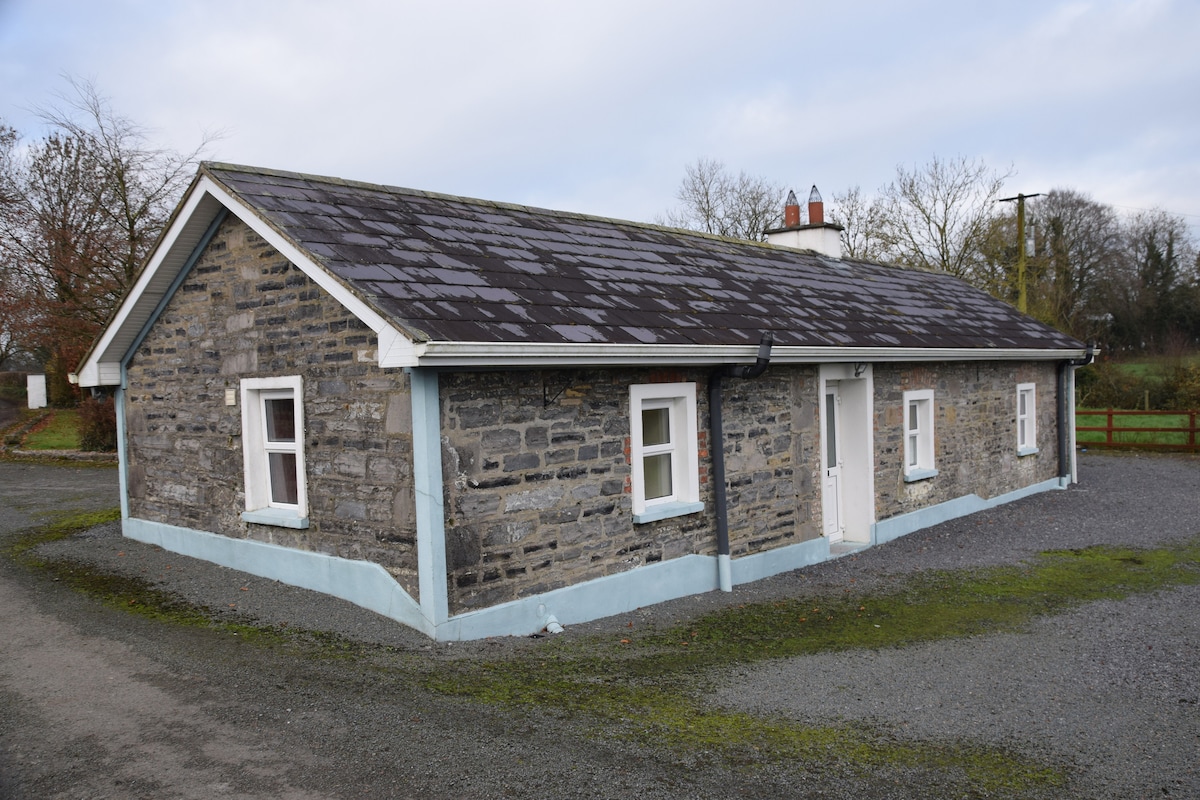 Enclosure in BreanyEnclosure · 462 yd
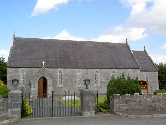 Saint Anne's Catholic Churchchurch/chapel · 1301 yd
 Burnt spread in BallycloghanBurnt spread · 1333 yd
 Druming Ho. (in ruins)Castle, unclassified · 1.0 mi
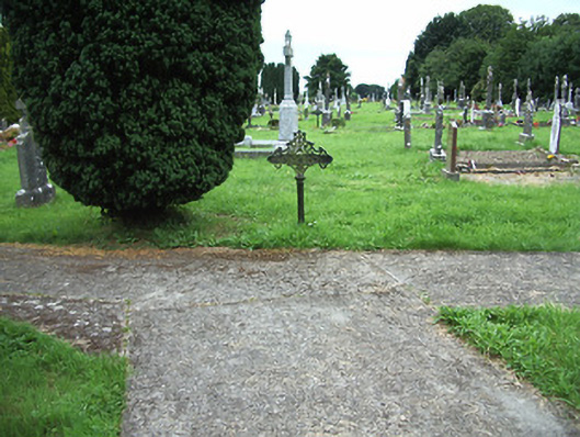 Ardagh Cemeterygraveyard/cemetery · 1.1 mi
 Ardagh DemesneFort · 1.5 mi
 Pedunculate OakPedunculate Oak · 3.0 mi
 National Famine WayWalking route · 3.3 mi
 Common AlderCommon Alder · 3.5 mi
 Abbeyshrule AbbeyRuins · 4.9 mi
 Graveyard in Curry (ardagh By., Coolamber Ed)Graveyard · 6.3 mi
 Leveret IslandIslet · 11 mi