What is recorded here
Fairy fort in Brankill, County Cavan, is a substantial earthen ringfort with a 31.5m internal diameter, enclosed by a deep fosse and counterscarp bank, now planted with deciduous trees. It stands as a rare surviving example of a rath in Cavan, where most such earthworks were lost to ploughing or building. The name suggests people once believed fairies inhabited it, yet its scale and construction point to human defence or residence. Whether it housed a family, a chieftain, or served as a boundary marker remains unknown, but the earth itself preserves the shape of that forgotten life.
Raised circular area (int. diam. 31.5m) enclosed by a substantial earthen bank and a wide, deep fosse accompanied by a low counterscarp bank at its outer lip. Fosse identifiable only from NW-N-NE. Internal area has been planted with deciduous trees.
The above description is derived from the published 'Archaeological Inventory of County Cavan' (Dublin: Stationery Office, 1995). In certain instances the entries have been revised and updated in the light of recent research.
Date of upload/revision: 22 December 2008
The monument record does not grant public access. Check the route and ask the landowner before entering private land.
- What survives
- Recorded monument
Places near here
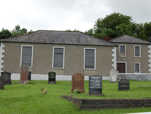 Drumkeeran Presbyterian Churchchurch/chapel · 1115 yd
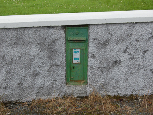 post boxpost box · 1145 yd
 IndicatedFairy fort / earthen ringfort · 1300 yd
 Corraneary WoodWood · 1557 yd
 Holy WellHoly well · 1.1 mi
 AghnacorMountain / peak · 1.5 mi
 Bruse HillMountain / peak · 1.7 mi
 Cornafean GFCMemorial · 1.7 mi
 Bawn in CastlepolesBawn · 2.1 mi
 Gartylough Wet WoodlandWood · 2.2 mi
 Red IslandIslet · 3.6 mi
 Lismore CastleCastle, unclassified · 3.9 mi