What is recorded here
Fairy fort in Brahalish: a 38m earthen ring on a hillock, its stone-faced gap pointing east like an invitation. Cattle graze beside it now, but the shape still reads as a chamber set apart from the field. Perhaps people once entered that gap at dawn, carrying butter, breath or fear, while the bank held back the ordinary world.
In pasture, atop hillock. Roughly circular area (33m N-S; 38m E-W) enclosed by earth and stone bank (H 0.6m), stone faced externally with boulders; modified to form field boundary S->N. Stone wall atop bank W->N. Entrance (Wth 1.5m) to E, stone faced.
The above description is derived from the published 'Archaeological Inventory of County Cork. Volume 1: West Cork' (Dublin: Stationery Office, 1992). In certain instances the entries have been revised and updated in the light of recent research.
Date of upload/revision: 14 January 2009
The monument record does not grant public access. Check the route and ask the landowner before entering private land.
- What survives
- Recorded monument
Places near here
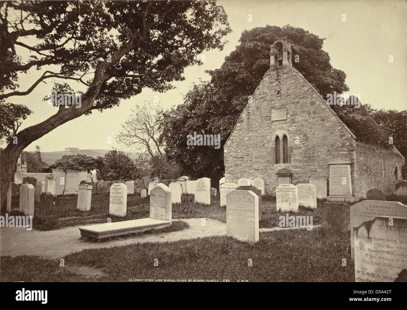 Childrens Burial Gd (Disused)Burial ground · 713 yd
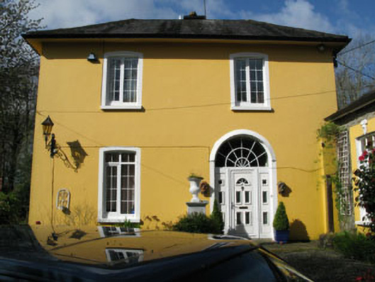
 Rossmore Lodgehouse · 871 yd
 Rossmore Castle (in Ruins)Castle, tower house · 1621 yd
 Mannion's Island (Large)Islet · 1669 yd
 Gearhmeen FortArchaeological place · 1701 yd
 Mannion's Island (Small)Islet · 1.0 mi
 Coolnalong Castle (in Ruins)House, fortified house · 1.4 mi
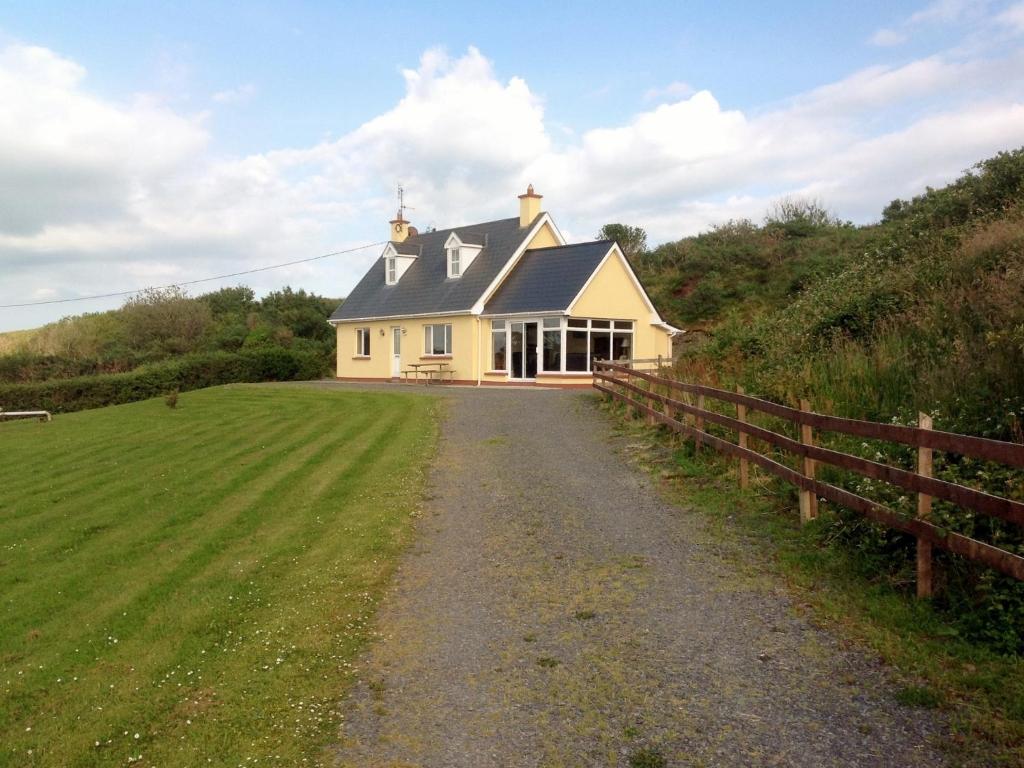
 rectory/glebe/vicarage/curate's houserectory/glebe/vicarage/curate's house · 1.8 mi
 Glanlough LoopWalking route · 2.2 mi
 Air India Flight 182 Crash MemorialMemorial · 2.2 mi
 Mount CorrinMountain / peak · 2.5 mi
 GouladaneMountain / peak · 2.5 mi