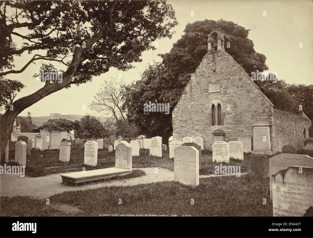
What is recorded here
In pasture. Sub-triangular area (max. L 31m; max. Wth 16m) partially enclosed (N and W) by stone field fence and bounded to S by laneway. Numerous grave markers noted.
The above description is derived from the published 'Archaeological Inventory of County Cork. Volume 1: West Cork' (Dublin: Stationery Office, 1992). In certain instances the entries have been revised and updated in the light of recent research.
Date of upload/revision: 14 January 2009
The monument record does not grant public access. Check the route and ask the landowner before entering private land.
- What survives
- Recorded monument
Places near here
 Rossmore Lodgehouse · 987 yd
 Gearhmeen FortArchaeological place · 1044 yd
 Cummer FortFairy fort / earthen ringfort · 1045 yd
 Rossmore Castle (in Ruins)Castle, tower house · 1.0 mi
 Mannion's Island (Small)Islet · 1.1 mi
 Mannion's Island (Large)Islet · 1.1 mi
 Coolnalong Castle (in Ruins)House, fortified house · 1.2 mi
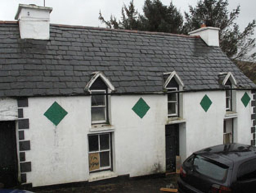 farm housefarm house · 1.6 mi
 Glanlough LoopWalking route · 2.2 mi
 Air India Flight 182 Crash MemorialMemorial · 2.5 mi
 League PointHeadland · 2.5 mi
 Coomkeen Loop WalkWalking route · 2.5 mi
Other information
Photo: Credit not shown in the picture search · Rights wording not checked; contact us if this picture should be removed