What is recorded here
Fairy fort in Brahalish: an oval earthen ring on a hillock, with a steep scarp and shallow outer ditch. It looks like a small fortress, but the shape and setting suggest a boundary marker or ritual place rather than a home. The land around it has changed little, which is why the ring still reads clearly in the pasture.
In pasture, atop hillock. Oval area (24.4m E-W; 19.9m N-S) enclosed by earthen bank (H 0.8m) N->SE; scarp (H 2.2m) SE->N; external fosse (D 0.6m) NNE->SE; low counterscarp bank ENE->ESE. Field boundary atop scarp SW->NW.
The above description is derived from the published 'Archaeological Inventory of County Cork. Volume 1: West Cork' (Dublin: Stationery Office, 1992). In certain instances the entries have been revised and updated in the light of recent research.
Date of upload/revision: 14 January 2009
The monument record does not grant public access. Check the route and ask the landowner before entering private land.
- What survives
- Recorded monument
Places near here
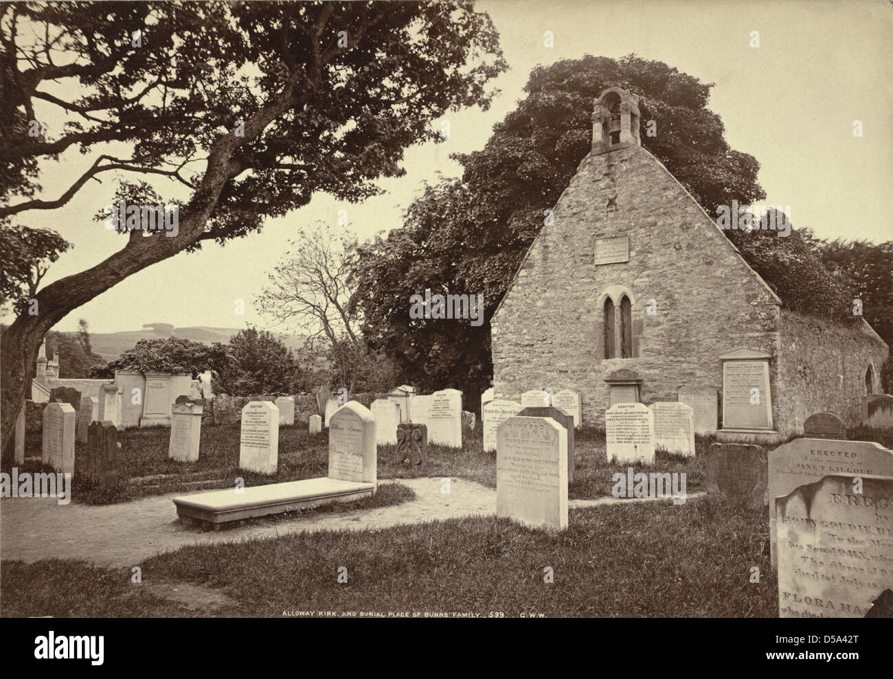 Childrens Burial Gd (Disused)Burial ground · 885 yd
 Cummer FortFairy fort / earthen ringfort · 1154 yd
 Rossmore Lodgehouse · 1.1 mi
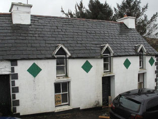 farm housefarm house · 1.1 mi
 Rossmore Castle (in Ruins)Castle, tower house · 1.5 mi
 Coolnalong Castle (in Ruins)House, fortified house · 1.5 mi
 Mannion's Island (Small)Islet · 1.6 mi
 Mannion's Island (Large)Islet · 1.6 mi
 Glanlough LoopWalking route · 2.0 mi
 League PointHeadland · 2.2 mi
 Foilakilly LoopWalking route · 2.2 mi
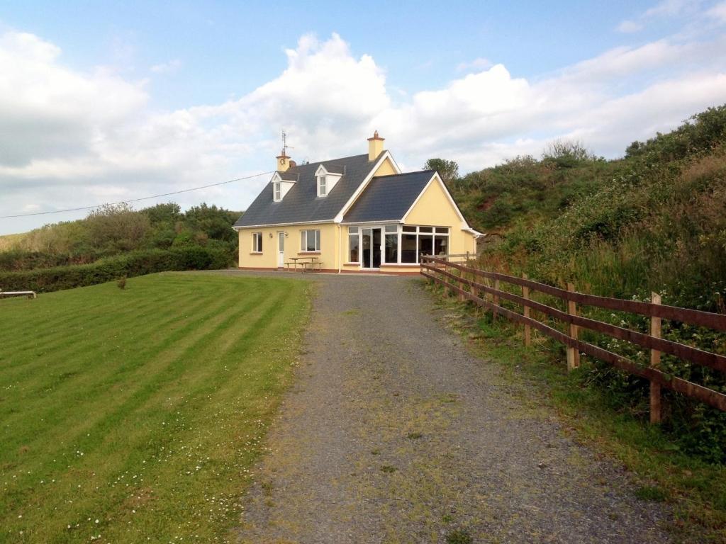 GouladaneMountain / peak · 2.3 mi