What is recorded here
Situated on a rise of ground surrounded by undulating grassland. Ringfort (WM013-105---) 310m to E. A circular shaped area (approx. diam. 34m NE-SW) enclosed by two poorly preserved earth and stone banks, with an intervening fosse and external fosse. The inner bank has been levelled and mostly reduced to a scarp. The inner fosse is wider from NW-ENE, and there is an intervening space (Wth. 9m) between the inner fosse and outer bank on the N side of the monument.
See attached profile of monument surveyed and drawn by the ASI.
Compiled by: Frank Coyne and Caimin O'Brien
Date of upload: 24 July 2018
The monument record does not grant public access. Check the route and ask the landowner before entering private land.
- What survives
- Recorded monument
Places near here
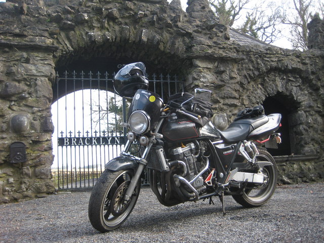 Bracklyn Housegate lodge · 571 yd
 OutlinedFairy fort / earthen ringfort · 1306 yd
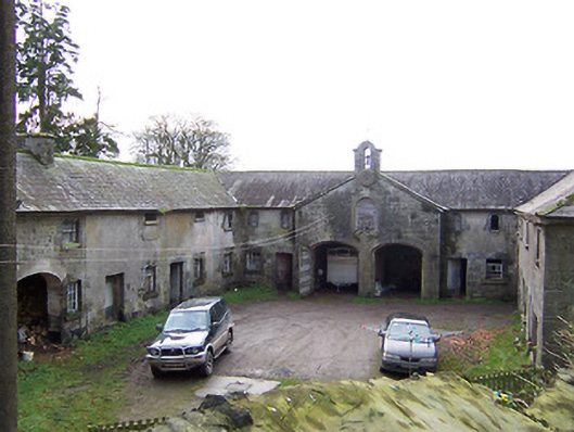 Rockview Housestables · 1.1 mi
 Killagh Ho. & CastleCastle, tower house · 1.1 mi
 Martinstown Castle in RuinsCastle, tower house · 1.4 mi
 Tober LuibeHoly well · 1.5 mi
 GinkgoGinkgo · 2.4 mi
 ScregganWood · 3.7 mi
 Kells HillMountain / peak · 8.0 mi
 Seafin HillMountain / peak · 9.1 mi
 Croppies' GraveMemorial · 10 mi
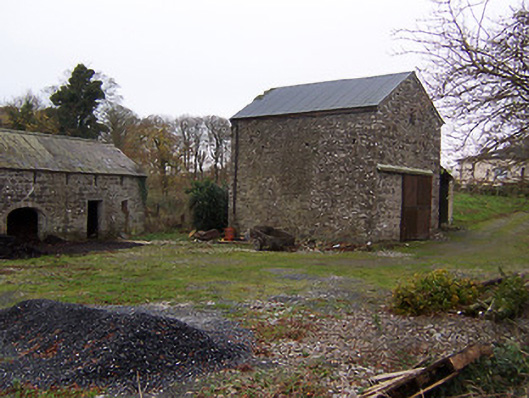 mill (water)mill (water) · 1.1 mi