What is recorded here
Fairy fort in Boughill, County Monaghan: a circular earth platform 35m across on a drumlin, its steep scarped edge and ruined outer stone wall marking a rath that people shaped before the valley forgot the purpose. The River Finn flows a hundred and sixty metres west, past grass and shadow rather than gate. Maybe it was a home, a boundary, a place for festivals or warning; the absence of entrance keeps that much alive.
Located on top of a drumlin with a N-S section of the River Finn c. 160m to the W. This is a circular overgrown platform (diam. 35m NW-SE; 33m NE-SW) defined by a scarp (H 1.2-1.6m) surrounded by an outer drystone wall that has largely collapsed. There is no visible fosse or entrance.
The above description is derived from the published 'Archaeological Inventory of County Monaghan' (Dublin: Stationery Office, 1986). In certain instances the entries have been revised and updated in the light of recent research.
Revised by: Michael Moore
Date of revision: 29 January 2018
The monument record does not grant public access. Check the route and ask the landowner before entering private land.
- What survives
- Recorded monument
Places near here
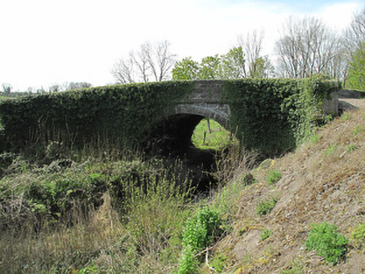 bridgebridge · 533 yd
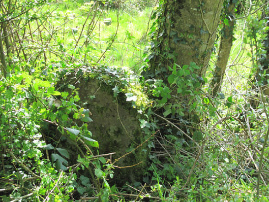 milestone/milepostmilestone/milepost · 578 yd
 Giants GraveCourt tomb · 1241 yd
 Crannog in Drumcaw (dartree By.)Crannog · 1436 yd
 KillycoonaghWood · 1693 yd
 Common LimeCommon Lime · 1.1 mi
 Saint John's WellSpring · 1.1 mi
 Jaundice WellSpring · 1.3 mi
 Roosky Castle (Site of)Castle, ringwork · 1.5 mi
 Lisarrilly HillMountain / peak · 2.0 mi
 Abbey RuinsHeritage attraction · 3.0 mi
 The Cassandra Hand CentreMuseum · 3.0 mi