What is recorded here
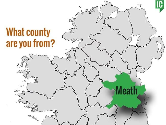
Fairy fort in Boolies, County Meath: a 29-metre grassed ring on a hillock, marked by a low earthen bank, a shallow fosse, an outer ridge and an eastern gap. The shape is small enough to walk beside, yet clear enough to show that people shaped the land and left a room behind. Whether it was a home, a boundary marker or a place for story, the ring still holds its line against the field.
Situated on a hillock in an undulating landscape. This is a raised circular and grass-covered area (diam. 29m NW-SE; 26.5m NE-SW) that slopes down to the E. It is defined by a slight earthen bank (at ESE: Wth of base 4.5m; int. H 0.5m; ext. H 1.9m) N-E-S that is reduced to a terraced scarp (at WNW: Wth 3.5m; H 1.8m) S-W-N. At the base of the scarp is a fosse (at ENE: Wth of top 2.5m; ext. D 0.2m) and an outer bank (at ESE: Wth of base 2.5m; ext. H 0.3m) NE-S. The entrance through the inner (Wth of base 1.2m) and outer (Wth of base c. 2.8m) banks is at E. Field walls approaching from the S and W meet at the centre, and the SW quadrant is planted in coniferous trees.
The above description is derived from the published 'Archaeological Inventory of County Meath' (Dublin: Stationery Office, 1987). In certain instances the entries have been revised and updated in the light of recent research.
Compiled by: Michael Moore
Date of revision: 31 October 2019
The monument record does not grant public access. Check the route and ask the landowner before entering private land.
- What survives
- Recorded monument
Places near here
 indicatedChurch · 701 yd
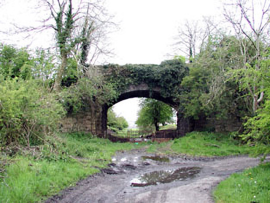 bridgebridge · 1680 yd
 Enclosure in Newcastle (fore By.)Enclosure · 1.1 mi
 CastleCastle, unclassified · 1.3 mi
 Enclosure in BallinvallyEnclosure · 1.3 mi
 Site of Old CastleCastle, unclassified · 1.6 mi
 Drumlerry WetlandForest · 1.6 mi
 Memorial CrossMemorial · 1.6 mi
 Fennor RockMountain / peak · 1.7 mi
 Mount FortuneMountain / peak · 1.8 mi
 Loughcrew Megalithic TombsHeritage attraction · 2.0 mi
 C11Named rock · 2.0 mi