What is recorded here
Fairy fort in Boolaglass, County Limerick: a 29.5m earthen ring, its bank still standing tallest along the north arc while briars smother the rest. Cattle graze inside the shallow western slope, and a removed field boundary once dumped its soil against the outer west face. People may have lived there before becoming pasture, but the ring still holds its shape like a forgotten promise.
In pasture, at W edge of break in W-facing slope. Circular area (diam. 29.5m) enclosed by earth-and-stone bank (int. H 1.1m; ext. H 1.25m). Bank, masked by briar growth, best preserved along N arc. Field boundary, depicted immediately outside bank at NW arc on 1923 OS 6-inch map, has been removed and material derived from it dumped against external bank face at W. Interior, under pasture, slopes down gently to W.
Compiled by: Denis Power
Date of upload: 26 August 2011
This remains an important historical record, but the official description says the monument is no longer visible or has been destroyed. The monument record does not grant public access. Check the route and ask the landowner before entering private land.
- What survives
- No visible remains or recorded as destroyed
Places near here
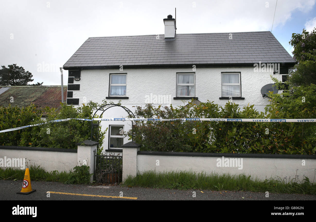 Enclosure in BoolaglassEnclosure · 272 yd
 The Gleberectory/glebe/vicarage/curate's house · 466 yd
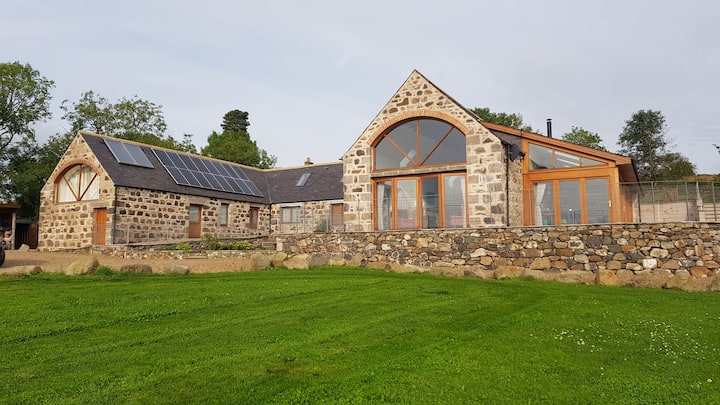 Enclosure in Milltown NorthEnclosure · 1008 yd
 Milltown Castle (in ruins)Castle, tower house · 1322 yd
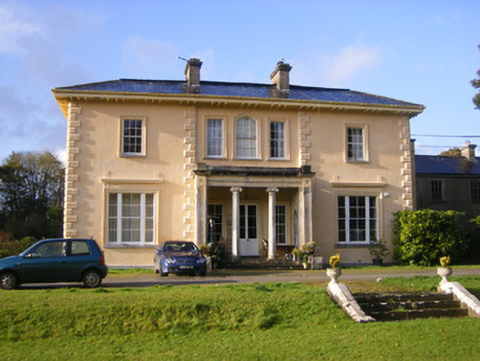 Nantinan Housecountry house · 1420 yd
 Lismakeery Castle (in ruins)Castle, tower house · 1.6 mi
 Askeaton CastleHeritage attraction · 1.8 mi
 Holly IslandIslet · 3.6 mi
 Little HeavenHeritage attraction · 3.6 mi
 Flat cemetery in CroaghFlat cemetery · 3.7 mi
 European YewEuropean Yew · 4.1 mi
 TobernablahySpring · 4.1 mi