What is recorded here
A twenty-four-metre earthen ringfort in Boolaglass, County Limerick, holds a circular space where rough pasture still grows across an uneven floor. Its earth-and-stone bank rises higher on the south and east, thins near the entrance, and follows a scarped edge into outcropping limestone. People may have lived there before the field swallowed the shape, but the fort no longer speaks with doors or rooms. It speaks only in a line of soil, a broken circle, and a place where the ground still remembers being made.
In rough pasture, in area of outcropping limestone. Circular area (diam. 24m) enclosed by earth-and-stone bank (int. H 0.75m; ext. H 0.45m) SE->SW and NE->E, and defined by scarped edge (H 0.3m; Wth 2m) SW->NE. Bank best preserved along S arc, lowers at E (int. H 0.25m; ext. H 0.2m). Entrance (Wth 2.5m) at ESE. Interior surface uneven and in rough pasture.
Compiled by: Denis Power
Date of upload: 26 August 2011
The monument record does not grant public access. Check the route and ask the landowner before entering private land.
- What survives
- Recorded monument
Places near here
 Enclosure in BoolaglassEnclosure · 448 yd
 The Gleberectory/glebe/vicarage/curate's house · 715 yd
 Enclosure in Milltown NorthEnclosure · 893 yd
 Milltown Castle (in ruins)Castle, tower house · 1182 yd
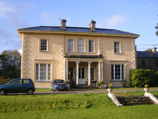 Nantinan Housecountry house · 1.0 mi
 Lismakeery Castle (in ruins)Castle, tower house · 1.4 mi
 Askeaton CastleHeritage attraction · 1.6 mi
 Holly IslandIslet · 3.3 mi
 Little HeavenHeritage attraction · 3.8 mi
 Flat cemetery in CroaghFlat cemetery · 4.0 mi
 European YewEuropean Yew · 4.2 mi
 TobernablahySpring · 4.3 mi