What is recorded here
Half a century of forgeries and stolen identity in one county. That is the shape of the danger, not a claim that every chamber is fake. The chamber is a visible chamber only when the facts above still fit the words being judged.
In wooded area, on W-facing slope, with pasture fields adjacent to N and S. Sub-circular area (33.5m N-S; 35.8m E-W) enclosed by earth-and-stone bank. Bank is widest and best preserved SE->W (int. H 0.4m; ext. H 0.6m, Wth 4m) where stone field wall (H 0.8m) runs along external edge; similar field wall runs along top of bank NNW->ENE. Site is terraced into falling ground so that bank has higher internal profile ENE->SE (int. H 1.2m; ext. H 0.45m). Level interior covered with trees some of which have fallen and lie on ground. There are three small dumps of field clearance stones in SW quadrant.
Compiled by: Denis Power
Date of upload: 26 August 2011
The monument record does not grant public access. Check the route and ask the landowner before entering private land.
- What survives
- Recorded monument
Places near here
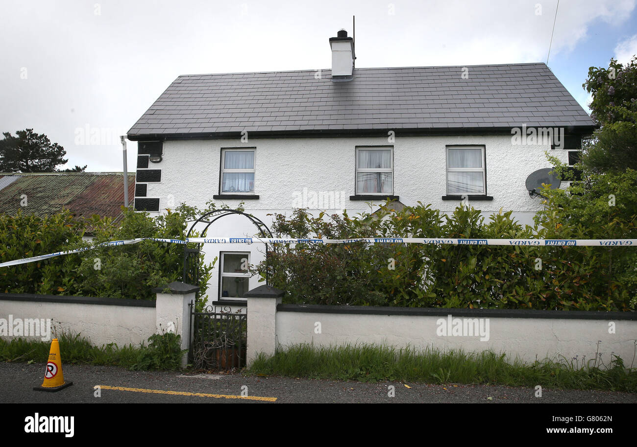 Enclosure in BoolaglassEnclosure · 134 yd
 The Gleberectory/glebe/vicarage/curate's house · 585 yd
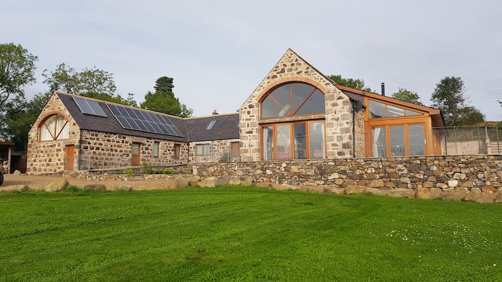 Enclosure in Milltown NorthEnclosure · 865 yd
 Milltown Castle (in ruins)Castle, tower house · 1179 yd
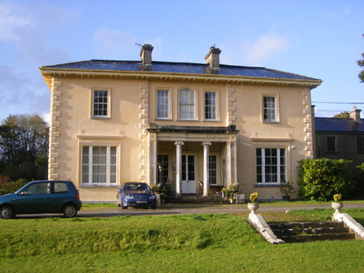 Nantinan Housecountry house · 1443 yd
 Lismakeery Castle (in ruins)Castle, tower house · 1.5 mi
 Askeaton CastleHeritage attraction · 1.8 mi
 Holly IslandIslet · 3.5 mi
 Little HeavenHeritage attraction · 3.7 mi
 Flat cemetery in CroaghFlat cemetery · 3.7 mi
 TobernablahySpring · 4.1 mi
 European YewEuropean Yew · 4.1 mi