What is recorded here
Fairy fort / earthen ringfort in Boola (Bourney parish) is a fairy fort or earthen ringfort in Boola (Bourney parish), County Tipperary, Ireland. It occupies a roughly circular area 30 metres across near the summit of a south-east-facing slope in undulating pastureland. A substantial earth and stone bank, 2.4 metres wide and rising 2.8 metres externally, encloses the site with a deep, wide fosse 3 metres wide and 1 metre deep. A 1.8-metre gap at the west appears cut through the bank, while a 2-metre entrance gap opens in the south-east sector.
Located near the summit of a SE-facing slope in undulating pastureland. A roughly circular area (diam. 30m) very heavily overgrown with scrub, defined by a substantial earth and stone bank (Wth 2.4m; int. H 1m; ext. H 2.8m) and a deep, wide fosse (Wth 3m; D 1m). A gap (Wth 1.8m) at W appears to be cut through the bank and there is an entrance gap (Wth 2m) in the SE sector.
The above description is derived from 'The Archaeological Inventory of County Tipperary. Vol. 1 - North Tipperary' compiled by Jean Farrelly and Caimin O'Brien (Dublin: Stationery Office, 2002). In certain instances the entries have been revised and updated in the light of recent research.
Date of upload/revision: 22 September 2008
The monument record does not grant public access. Check the route and ask the landowner before entering private land.
- What survives
- Recorded monument
Places near here
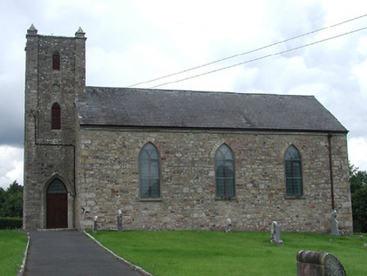 Saint Burchin's Church (Bourney)church/chapel · 934 yd
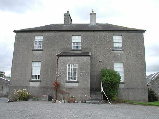 rectory/glebe/vicarage/curate's houserectory/glebe/vicarage/curate's house · 935 yd
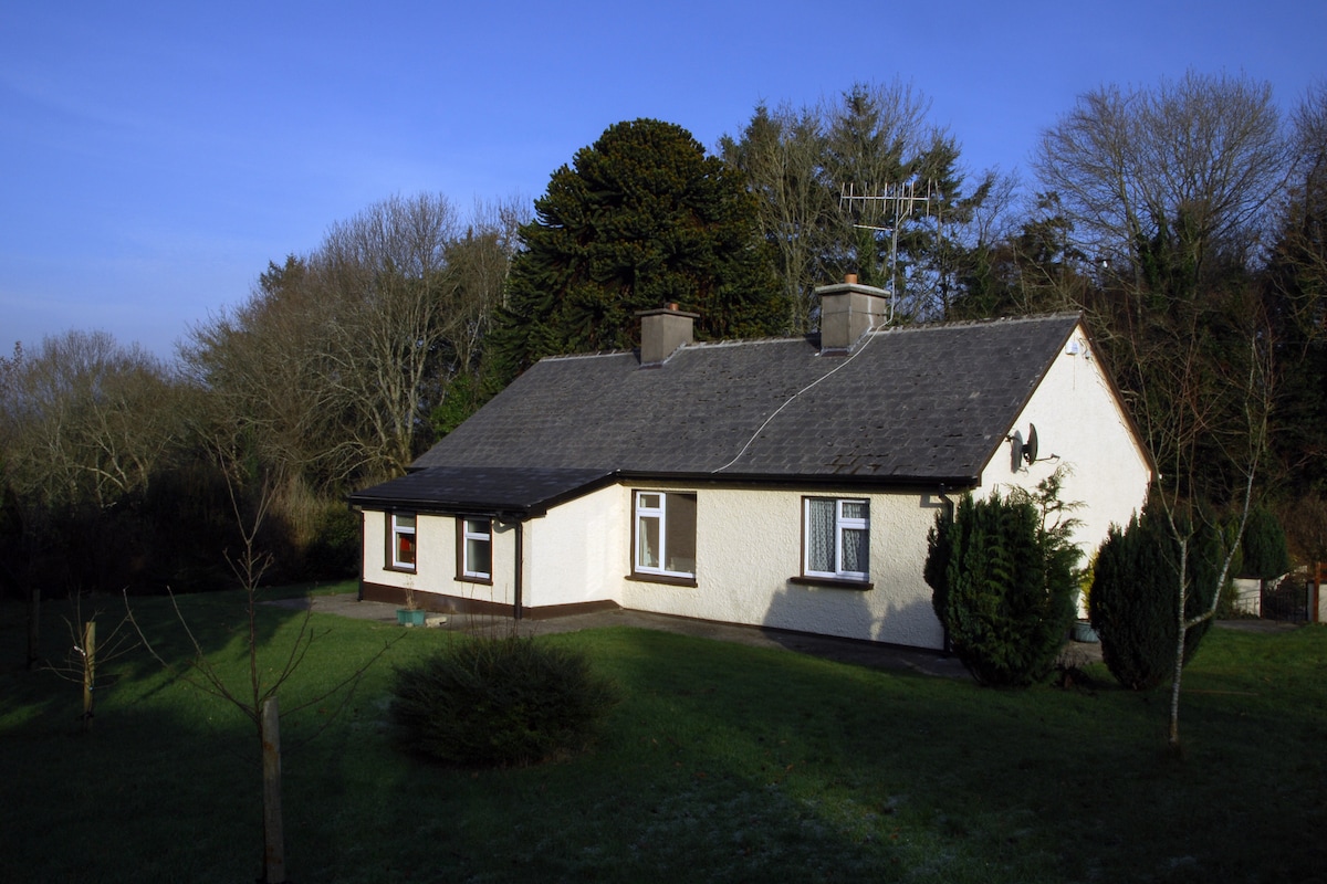 Habitation site in Ballyslea,boola (bourney Par.)Habitation site · 992 yd
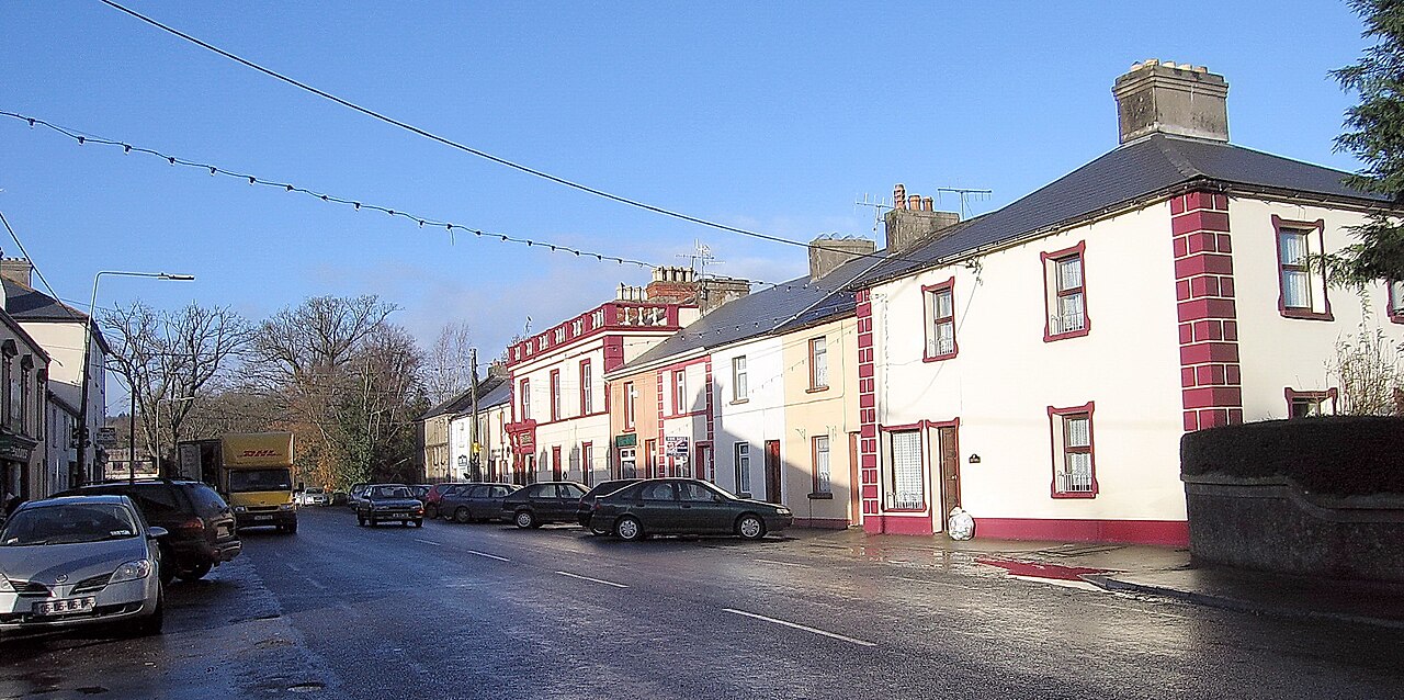 IndicatedEnclosure · 1265 yd
 OutlinedCastle, Anglo-Norman masonry castle · 1340 yd
 Dotted lineBawn · 1.8 mi
 Longford WoodForest · 2.3 mi
 Black HillMountain / peak · 3.6 mi
 Roscrea Petty Sessions HouseHeritage attraction · 3.8 mi
 Carricknasrock WoodWood · 3.9 mi
 BenduffMountain / peak · 4.7 mi
 Millennium GardenMemorial · 4.8 mi