What is recorded here
Bohonagh holds a circular earthen fort thirty metres wide on a south-facing slope, with two gaps in its bank and a hidden underground passage inside. The south interior rises to compensate for the tilt, suggesting people shaped the land rather than merely digging a hole. Cattle graze above the buried passage now, unaware that human hands built a chamber beneath their hooves. The fort has watched the pasture for centuries, keeping its shape while the world around it forgot the names of those who first lived there.
In pasture, on S-facing slope. Circular area (31.1m N-S; 31.6m E-W) enclosed by earthen bank (H 2m); external fosse (D 0.3m) W->NW; with possible second earthen bank (H 1.8m) N->E. Gap in bank to SE (Wth 2.8m) and SW (Wth 3.4m). Interior raised on S side to compensate for hillslope. Man-made underground passage (CO134-074002-) in interior.
The above description is derived from the published 'Archaeological Inventory of County Cork. Volume 1: West Cork' (Dublin: Stationery Office, 1992). In certain instances the entries have been revised and updated in the light of recent research.
Date of upload/revision: 14 January 2009
The monument record does not grant public access. Check the route and ask the landowner before entering private land.
- What survives
- Recorded monument
Places near here
 Man-made underground passage in BohonaghMan-made underground passage · 15 yd
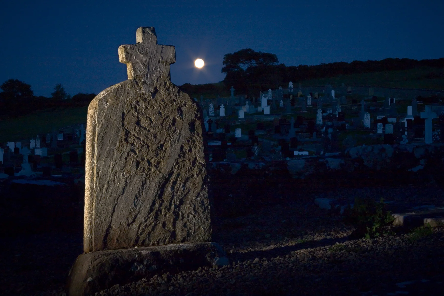 Boulder-burial in KnocknageehyBoulder-burial · 552 yd
 Rathbarryfarm house · 607 yd
 Templefachtna (in Ruins)Church · 1568 yd
 Castle Freke WoodsForest · 1.2 mi
 Chilean myrtleChilean myrtle · 1.3 mi
 Ownahincha Strand (West)Beach / strand · 1.5 mi
 Little Island StrandBeach / strand · 1.6 mi
 Bawn in CastlefrekeBawn · 1.6 mi
 Cottage MuseumMuseum · 1.7 mi
 Lord Carbery's Cross TrailWalking route · 1.7 mi
 Galley Head ViewViewpoint · 1.9 mi