What is recorded here
Fairy forts are not evidence of fairies. They are ordinary human places misnamed because people stopped remembering the humans who built them. In Bohermore, a broad shallow bank still marks a circular home or holding place on a low western slope. Much of the rest has been levelled, but the curve remains large enough to imagine doors, fires and arguments inside it.
On a low rise on a W-facing slope. This rath has been largely levelled. Extant remains comprise a raised circular area (diam. c. 50m) enclosed from E-SE-S by a wide low bank of earth and stone (Wth 5m; max. H 0.2m). Elsewhere the delimiting element is a poorly defined, low scarp. There is no trace of a fosse and the original entrance is not recognisable.
Compiled by: Patrick F. O'Donovan
Date of upload: 26 August 2011
This remains an important historical record, but the official description says the monument is no longer visible or has been destroyed. The monument record does not grant public access. Check the route and ask the landowner before entering private land.
- What survives
- No visible remains or recorded as destroyed
Places near here
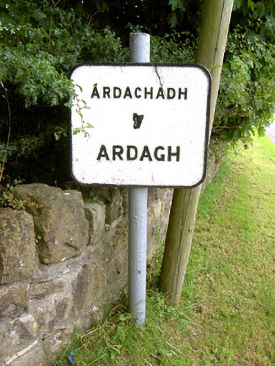 sign postsign post · 640 yd
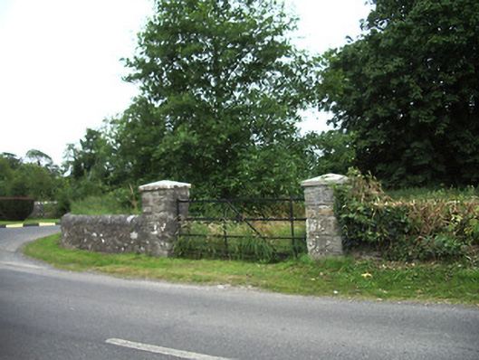 demesne walls/gates/railingsdemesne walls/gates/railings · 1191 yd
 Oldtown CopseWood · 1432 yd
 Ardagh DemesneFort · 1439 yd
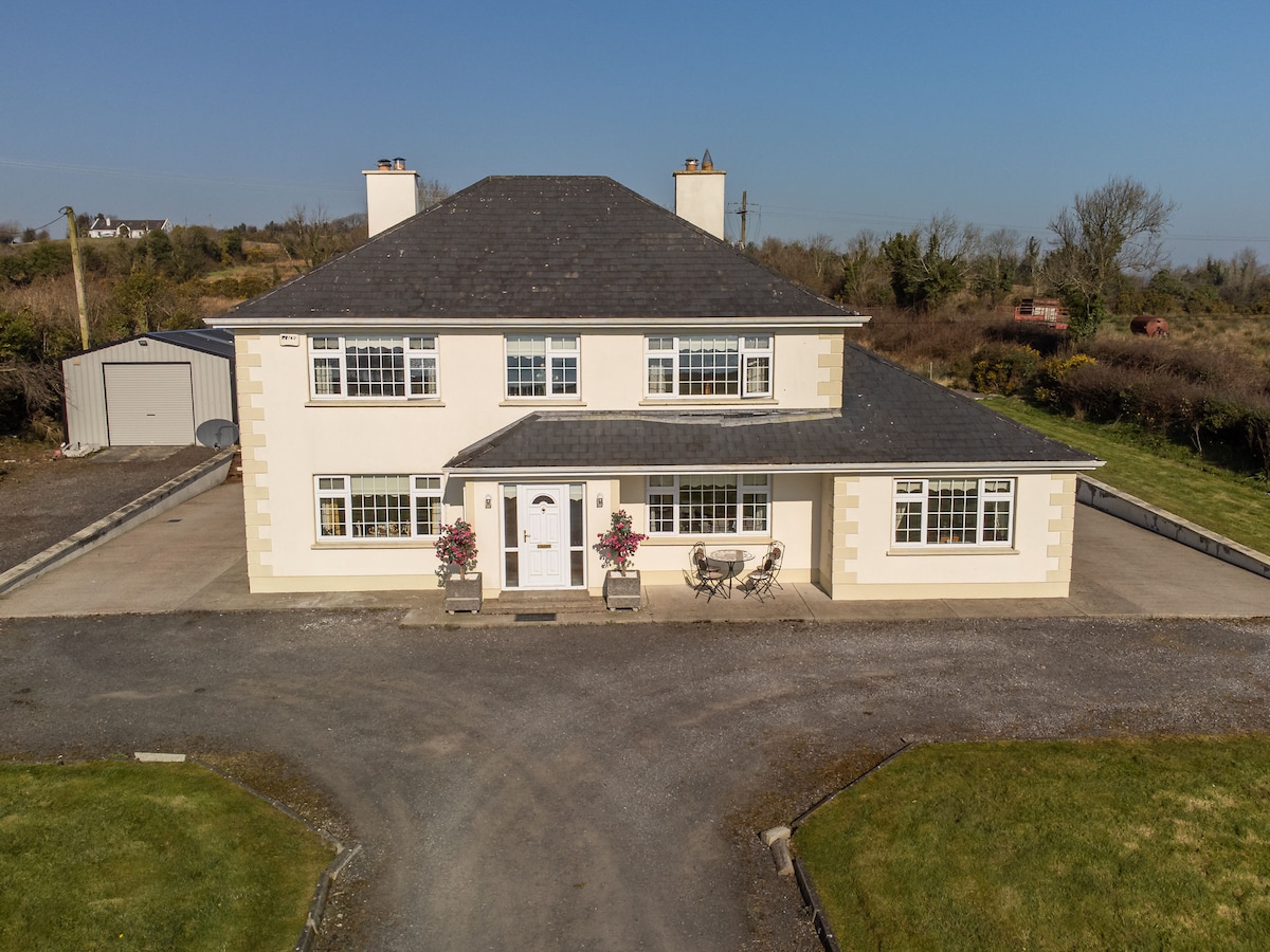 IndicatedFairy fort / earthen ringfort · 1519 yd
 LF014-105---- : Ringfort - rath : OLDTOWNArchaeological place · 1614 yd
 Oldtown DemesneForest · 1627 yd
 Druming Ho. (in ruins)Castle, unclassified · 1.7 mi
 National Famine WayWalking route · 3.3 mi
 Saint Mel's CathedralCathedral · 5.3 mi
 First World War MemorialMemorial · 5.3 mi
 Graveyard in Curry (ardagh By., Coolamber Ed)Graveyard · 5.3 mi