What is recorded here
Fairy forts are earthen ringforts, and this is one: a shallow circular ditch and low bank on a gentle west-facing slope in Bohermore, County Longford. The shape is still visible through pasture and field boundaries, even though the entrance has disappeared and the bank has been reduced by centuries of use. It may have been a farmstead, a boundary marker, a seasonal shelter or a place people avoided because it belonged to someone else. The fairies are not the point; the continuity is. A circle of earth on open land is a claim made visible, and claims keep being repeated long after the first maker has gone.
On a gentle W-facing slope in pasture. A circular area (diam. c. 32m) enclosed from ENE-E-S by a low bank of earth and stone (Wth 3.8m; H 0.4m). Elsewhere the outline is defined by modern field boundaries. The original entrance is not recognisable. A report in 1976 (SMR file) noted the presence of a shallow external fosse.
Compiled by: Patrick F. O'Donovan
Date of upload: 26 August 2011
The monument record does not grant public access. Check the route and ask the landowner before entering private land.
- What survives
- Recorded monument
Places near here
 IndicatedEnclosure · 771 yd
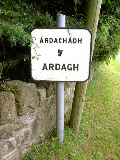 sign postsign post · 847 yd
 Oldtown CopseWood · 1226 yd
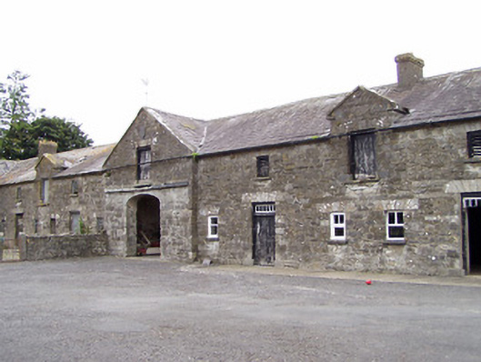 Oldtown Houseoutbuilding · 1280 yd
 LF014-105---- : Ringfort - rath : OLDTOWNArchaeological place · 1407 yd
 Oldtown DemesneForest · 1422 yd
 Ardagh DemesneFort · 1629 yd
 Druming Ho. (in ruins)Castle, unclassified · 1.8 mi
 National Famine WayWalking route · 3.3 mi
 Saint Mel's CathedralCathedral · 5.2 mi
 First World War MemorialMemorial · 5.2 mi
 Graveyard in Curry (ardagh By., Coolamber Ed)Graveyard · 5.3 mi