What is recorded here
Fairy forts are human ringforts misnamed by folklore, often built and farmed for generations before ploughs or development erased them. In Boherascrub West a circular bank stood on a gentle NE-facing slope, large enough to hold a home, yard and perhaps a small field life. It appeared on maps from 1842 to 1937, then local accounts say it was levelled around 1978 or 1979. The loss is ordinary in countryside change, but the shape remains memorable: a made circle, not a fairy trick.
In tillage, on gentle NE-facing slope. Depicted as hachured circular enclosure (diam. c. 35m) on 1842 and 1905 OS 6-inch maps; as circular area (diam. c. 25m) enclosed by fosse on 1937 OS 6-inch map. Circular area (34m N-S; 32m E-W) defined by low, gently sloping scarp. According to local information levelled c. 1978/79 and consisted of a single bank with entrance to E.
The above description is derived from the published 'Archaeological Inventory of County Cork. Volume 4: North Cork' (Dublin: Stationery Office, 2000). In certain instances the entries have been revised and updated in the light of recent research.
Date of upload/revision: 14 January 2009
The monument record does not grant public access. Check the route and ask the landowner before entering private land.
- What survives
- Recorded monument
Places near here
 IndicatedFairy fort / earthen ringfort · 293 yd
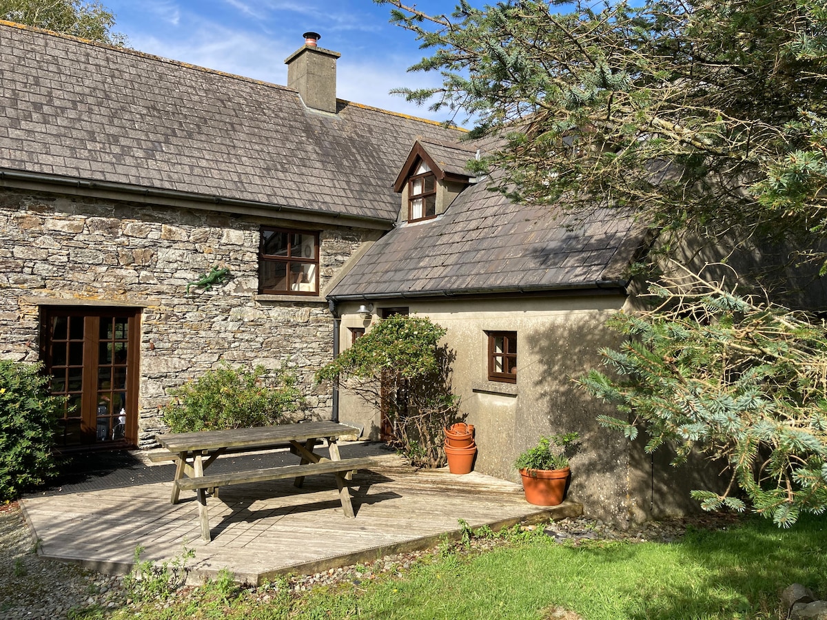 Enclosure in Boherascrub WestEnclosure · 431 yd
 Bawn of Kilmaclenine (in Ruins)House, fortified house · 460 yd
 Kilmaclenine CastleCastle · 571 yd
 Kilmaclenine Church (in Ruins)Church · 846 yd
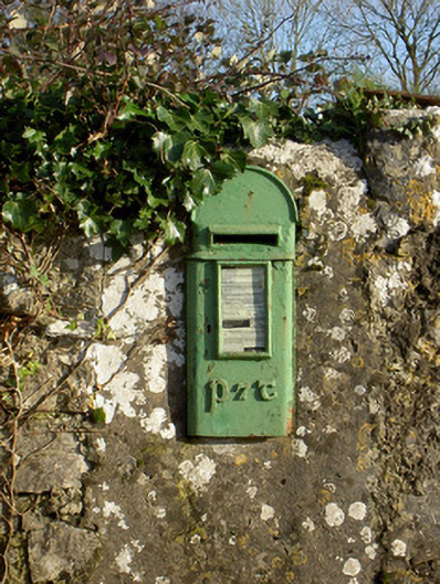 post boxpost box · 1.3 mi
 Lady's WellSpring · 1.6 mi
 Buttevant Rail DisasterMemorial · 2.7 mi
 Graveyard in Ballygiblin (duhallow By.)Graveyard · 3.8 mi
 Battle of LiscarrollMajor battlefield · 4.8 mi
 European YewEuropean Yew · 5.3 mi
 Burial ground in AssolasBurial ground · 5.5 mi