What is recorded here
Fairy fort in Boherascrub West is a circular earthen ring with a two-metre scarp and external fosse, marked on maps since 1842. A pond on the northwest floods the ditch, turning the ancient boundary into a wet mirror that swallows the line between inside and out. People may have lived within the rampart before the water rose, but the fort keeps their names and the fairy story holds them back.
In pasture, on level ground at bottom of N-facing slope. Roughly circular area (34.5m E-W; 31.5m N-S) defined by scarp (max. H c. 2m), overgrown in parts; external fosse (D 0.5m; Wth 5.5m). Scarp topped by slight internal lip to N (H 0.3m). Pond on NW side of fort floods fosse to W and N. Field boundary, depicted on 1842 and 1905 OS 6-inch maps skirting fosse ESE->SSW, survives as low rise (H 0.2m); small pond to SE depicted on 1905 OS 6-inch map outside field boundary survives as boggy area.
The above description is derived from the published 'Archaeological Inventory of County Cork. Volume 4: North Cork' (Dublin: Stationery Office, 2000). In certain instances the entries have been revised and updated in the light of recent research.
Date of upload/revision: 14 January 2009
The monument record does not grant public access. Check the route and ask the landowner before entering private land.
- What survives
- Recorded monument
Places near here
 IndicatedHouse, vernacular house · 304 yd
 Fulacht FiadhFulacht fia · 451 yd
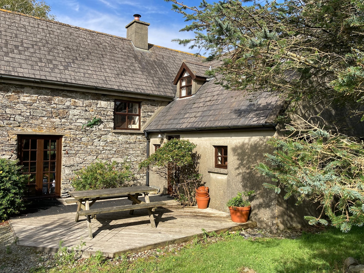 Enclosure in Boherascrub WestEnclosure · 453 yd
 Bawn of Kilmaclenine (in Ruins)House, fortified house · 1171 yd
 Kilmaclenine CastleCastle · 1297 yd
 Kilmaclenine Church (in Ruins)Church · 1515 yd
 Lady's WellSpring · 1.5 mi
 Buttevant Rail DisasterMemorial · 2.3 mi
 Charles BunworthMemorial · 2.4 mi
 Battle of LiscarrollMajor battlefield · 4.6 mi
 European YewEuropean Yew · 5.7 mi
 Burial ground in AssolasBurial ground · 5.9 mi