What is recorded here
Bohard holds a broken fairy fort where a field boundary now cuts through the old fosse. The earthen bank still marks a circular space twenty-two by twenty-four metres across, but pasture and ploughing have removed much of its shape. People may have lived inside that ring before the land was flattened, or the fort may have belonged only to story. Either way, the ground keeps its own claim, waiting for someone to stop measuring and start listening.
In level pasture. Site depicted as embanked circular enclosure on 1841 OS 6-inch map has been partially levelled. It is now evident as circular area (22m N-S; 24m E-W) enclosed by earthen bank (int. H 0.1m; ext. H 0.55m), with an external fosse (D 0.15m; Wth 5m) NW->NE and E->SW, but a field boundary runs along line of fosse SW->NW. Interior is level and under pasture.
Compiled by: Denis Power
Date of upload: 26 August 2011
The monument record does not grant public access. Check the route and ask the landowner before entering private land.
- What survives
- Recorded monument
Places near here
 ToberhoranSpring · 1144 yd
 Moated site in AhaveheenMoated site · 1232 yd
 Fairy fort / earthen ringfort in AhaveheenFairy fort / earthen ringfort · 1240 yd
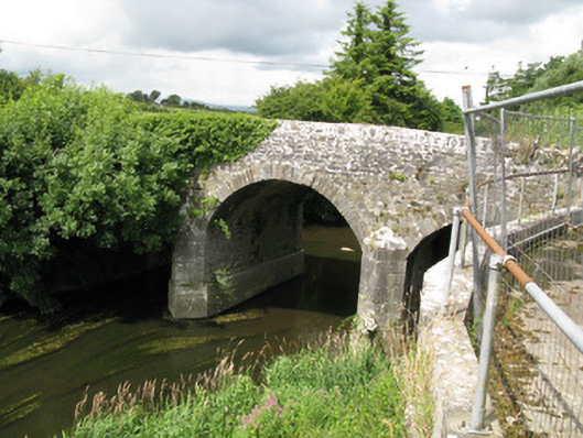 Broken Bridgebridge · 1281 yd
 CastleCastle, unclassified · 1.6 mi
 Garbally WellSpring · 1.6 mi
 Church (in ruins)Church · 1.7 mi
 Mayne Ho.Castle, unclassified · 1.8 mi
 National Co-op MuseumMuseum · 3.6 mi
 Ballagh MountainMountain / peak · 6.8 mi
 Mullaghareirk - Banane LoopWalking route · 7.6 mi
 Rock HillMountain / peak · 9.6 mi