What is recorded here
Situated in pasture, with reasonable views of the surrounding countryside. Depicted on the 1837 ed. OS 6-inch map as a roughly circular-shaped earthwork bisected by a public road running N-S which forms townland boundary with Kill. Monument described in 1973 as a roughly circular-shaped area (approx. diam. 38m) enclosed by a bank (approx. dims. Wth 2m; max. H 1m) with a possible entrance at NE. The interior is divided almost equally by the public road which runs N-S through the earthwork. The surface has a slight S-facing slope and the E half is partly overgrown with briars and the W portion is divided into two areas by a field boundary running E-W. Monument is visible today s a roughly circular-shaped tree-lined earthwork bisected by the public road running N-S, on Digital Globe aerial photography.
Compiled by Alison McQueen, Vera Rahilly and Caimin O’Brien.
Date of upload: 28 November 2019
The monument record does not grant public access. Check the route and ask the landowner before entering private land.
- What survives
- Recorded monument
Places near here
 Partially indicatedFairy fort / earthen ringfort · 432 yd
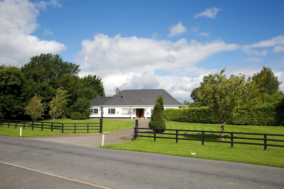 OutlinedFairy fort / earthen ringfort · 511 yd
 Farnaghcountry house · 649 yd
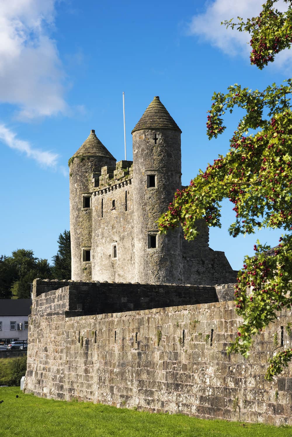 CastleCastle, tower house · 884 yd
 Cloghawareschal CastleCastle, unclassified · 1.0 mi
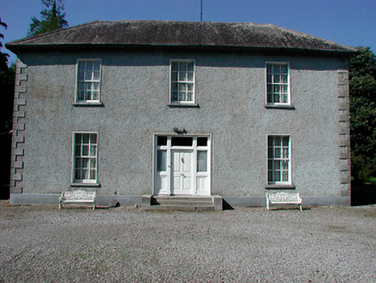 Baltrasna Househouse · 1.3 mi
 Dún na SíMuseum · 1.6 mi
 Dún na Sí Heritage CentreMuseum · 1.6 mi
 Charles BianconiMemorial · 1.9 mi
 Moate HillMountain / peak · 2.0 mi
 European ashEuropean ash · 3.9 mi
 Roughan HillMountain / peak · 4.6 mi