What is recorded here
Situated on a slight rise, in gently undulating pasture, ringfort (WM022-008---) 25m to SSW. Monument described in 1971 and 1976 as a roughly subcircular-shaped area (approx. dims. 30m N-S; 28m E-W) enclosed by a low earth and stone bank from N-E-S, which is almost reduced to a scarp elsewhere. A portion of the bank at E has been preserved as part of an old field boundary. The perimeter has been partly quarried away from NW-NE. A field bank cuts across the perimeter of the ringfort at W. The interior has old cultivation ridges running N-S.
See attached profile of monument surveyed and drawn by ASI.
Compiled by Alison McQueen, Vera Rahilly and Caimin O’Brien.
Date of upload: 17 July 2019
The monument record does not grant public access. Check the route and ask the landowner before entering private land.
- What survives
- Recorded monument
Places near here
 OutlinedFairy fort / earthen ringfort · 183 yd
 Partially hachuredFairy fort / earthen ringfort · 392 yd
 Kilkenny CastleCastle · 1134 yd
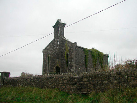 Saint Canice's Church (Kilkenny West)church/chapel · 1147 yd
 Church in Kilkenny AbbeyChurch · 1148 yd
 CastleCastle, motte and bailey · 1.2 mi
 Noughaval CemeteryArchaeological place · 2.2 mi
 European BeechEuropean Beech · 3.5 mi
 Killinure BayBay · 3.9 mi
 Temple's IslandIslet · 4.2 mi
 Traveen BayBay · 4.3 mi
 Portlick Millennium ForestWood · 4.5 mi