What is recorded here
Fairy fort in Blossomfort, County Cork, is a broken earthen ringfort where a field fence now cuts through its surviving bank. The circular shape still appears in aerial photographs as a pale line and shadow, proving the earth remembers what people stopped seeing. Local people may have filled the ditch or built fences across it because a clear boundary suited living better than an empty circle suited wondering.
In tillage, on gentle NE-facing slope. Depicted as hachured circular enclosure (diam. c. 45m) on 1842 OS 6-inch map; bank incorporated into field fence system SE->N on 1905 and 1937 OS 6-inch maps; E side depicted as open, hachured as scarp on 1905 and 1937 OS 6-inch maps respectively. Roughly circular area (48m N-S; 42m E-W) defined by low scarp N->NW; overgrown scarp (H 1.2m) survives in field fence system NW->N. According to local information, fosse infilled recently with earth. Circular enclosure visible as cropmark of bank and external fosse in aerial photograph (CASAP).
The above description is derived from the published 'Archaeological Inventory of County Cork. Volume 4: North Cork' (Dublin: Stationery Office, 2000). In certain instances the entries have been revised and updated in the light of recent research.
Date of upload/revision: 14 January 2009
The monument record does not grant public access. Check the route and ask the landowner before entering private land.
- What survives
- Recorded monument
Places near here
 Enclosure in Scart (orrery and Kilmore By., Ballyclogh Par.)Enclosure · 427 yd
 Field system in Scart (orrery and Kilmore By., Ballyclogh Par.)Field system · 503 yd
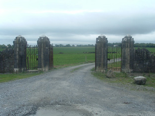 Castlelohortgates/railings/walls · 711 yd
 Ard na Gréinehouse · 1154 yd
 CastleBawn · 1545 yd
 Lohort CastleCastle, tower house · 1694 yd
 Graveyard in Ballygiblin (duhallow By.)Graveyard · 1.7 mi
 Dromaneen CastleHeritage attraction · 3.0 mi
 European YewEuropean Yew · 3.3 mi
 Burial ground in AssolasBurial ground · 3.5 mi
 St Fursey's WellSpring · 5.0 mi
 In loving memory of Elvis O'DonoghueMemorial · 5.0 mi