What is recorded here
Bey More holds a forgotten ringfort where a shallow ditch once cut through green fields. Men may have lived there before the land forgot them, or fairies may have danced inside the circle when nobody watched. The soil still keeps the shape of that choice, waiting for rain or hunger to reveal it again.
Located on the E-facing spine of a small and low W-E spur. The faint cropmark of a subcircular enclosure (dims c. 48m N-S; c. 42m E-W) defined by a single slight fosse is most clearly visible on Google Earth (21/07/2021) but is also visible on Apple Maps (2018). It was first reported by Anthony Murphy.
See the attached enhanced view from Google Earth (21/07/2021)
Compiled by: Michael Moore
Date of upload: 31 August 2021
The monument record does not grant public access. Check the route and ask the landowner before entering private land.
- What survives
- Recorded monument
Places near here
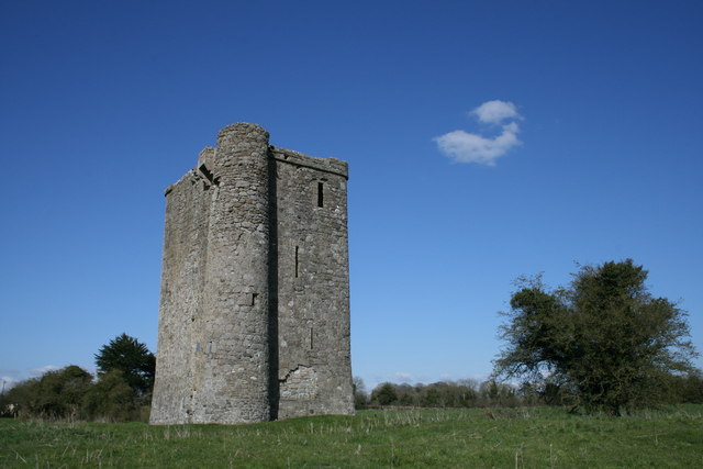 Enclosure in Bey MoreEnclosure · 343 yd
 Promontory fortPromontory fort, inland · 399 yd
 Platin HouseCastle, unclassified · 1.2 mi
 Newgrange Business ParkMemorial · 1.2 mi
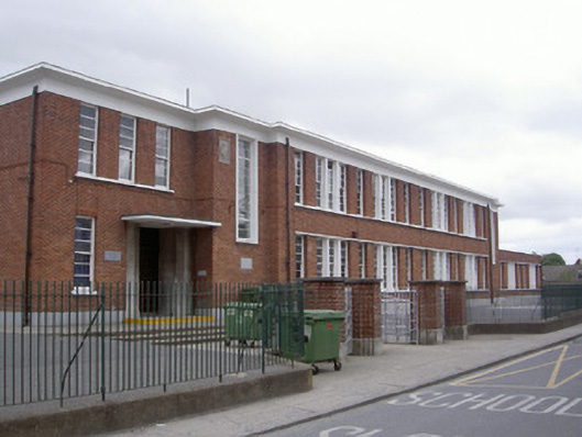 Saint Mary's National Schoolschool · 1.5 mi
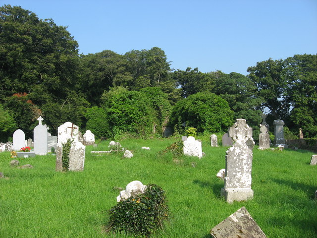 Church (in Ruins)Church · 1.5 mi
 Millmount MuseumMuseum · 1.7 mi
 Siege of Droghedasiege · 1.8 mi
 The ThoselMemorial · 1.9 mi
 Yellow IslandIslet · 2.7 mi
 Glenmore ForestWood · 2.8 mi
 Grove IslandIslet · 3.0 mi