What is recorded here
No visible gate. The east bank has collapsed into the ground, exposing the dark soil within. The west ditch still holds water after rain, mapping the circle's edge. A twenty-five metre chamber sits in open bog, large enough for a dozen people to stand inside. The missing wall suggests entry from that direction, though no doorway remains to prove it.
On a flat, low-lying boggy valley bottom with fairly good views across the valley floor. A roughly circular area (diam. c. 25m) enclosed by low, wide earthen bank (Wth c. 2.5m; int. H 1m; ext. H 2.3m), a wide, shallow external fosse (Wth 4m; D 1.8m) and slight traces of an outer bank (Wth 1.5m; H 0.5-0.75m) at the S which may be a field bank. The inner bank is badly denuded in the E quadrant and the fosse is visible in the western half, from S-N.
Compiled by: Jean Farrelly
Date of upload: 7 February 2018
The monument record does not grant public access. Check the route and ask the landowner before entering private land.
- What survives
- Recorded monument
Places near here
 Belville Ringfort (Rath)Archaeological place · 12 yd
 Enclosure in BelvilleEnclosure · 119 yd
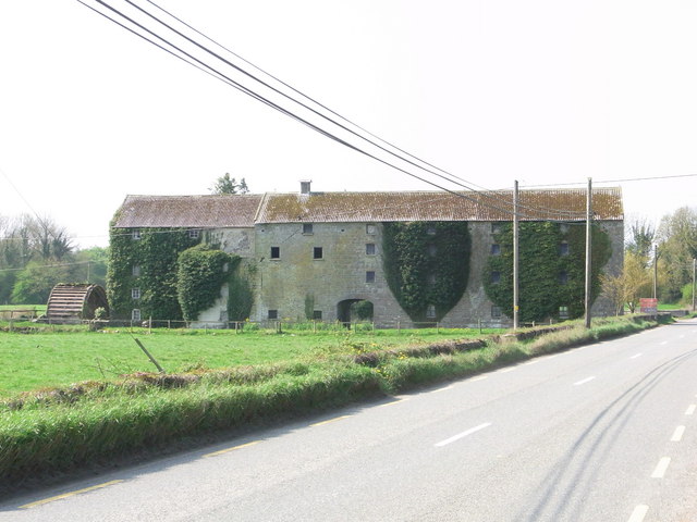 Kilrush Corn Millsmill (water) · 662 yd
 Church in KilrushChurch · 866 yd
 CastleCastle, tower house · 1028 yd
 The PondsForest · 1.1 mi
 Balleen Castle (ruins)Castle · 1.1 mi
 Freshford LoopWalking route · 1.3 mi
 The CopseWood · 1.4 mi
 Emma Jane Browne-ClaytonMemorial · 1.6 mi
 Clomantagh HillMountain / peak · 3.1 mi
 John HelyMemorial · 5.0 mi