
What is recorded here
On gently sloping ground on the floor of the Nuenna river valley, c. 200m N of the river course. A tower house (KK013-012----) is located c. 145m to the SSW and a medieval building (KK013-154----) lies c. 130m to the SSE. There are good views along and across the valley.
Carrigan (1905, vol. 2, 257) records that the church of Kilrush, 'stood in front of Kilrush House, about 60 yards [c. 55m] from the hall-door, where a low rise marks its site. This rise was partially levelled about 1840, and was then found to contain great quantities of human remains [KK013-011002-]'. It survives as a partly demolished, irregularly shaped grass-covered mound (dims. 17m E-W; 14m N-S; H c. 0.2-0.3m to N, c. 1-1.5m to E and S). A limestone corbel (KK013-011003-) with a carved face, which lies in the grounds of Kilrush House, possible came from the medieval church.
See attached photographs:
Photographs:
KK013-011001-_01 from SW (from front of Kilrush House)
KK013-011001-_02 from NE with tower house (KK013-012----) to left background
Compiled by: Jean Farrelly
Date of upload: 25 July 2022
The monument record does not grant public access. Check the route and ask the landowner before entering private land.
- What survives
- Recorded monument
Places near here
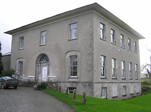 Kilrush Housecountry house · 93 yd
 IndicatedBuilding · 141 yd
 CastleCastle, tower house · 163 yd
 Enclosure in Ballylarkin LowerEnclosure · 604 yd
 Enclosure in BelvilleEnclosure · 748 yd
 The PondsForest · 1.1 mi
 The CopseWood · 1.2 mi
 Killoshulan Castle (ruin)Castle · 1.2 mi
 Freshford LoopWalking route · 1.3 mi
 Emma Jane Browne-ClaytonMemorial · 1.7 mi
 Clomantagh HillMountain / peak · 3.0 mi
 John HelyMemorial · 4.9 mi
Other information
Photo: Credit not shown in the picture search · Rights wording not checked; contact us if this picture should be removed