What is recorded here
Belvelly holds a forgotten ringfort, buried beneath forestry on a north-facing slope. The 1842 map captured a twenty-five-metre circular enclosure, yet no surface trace remains for modern eyes. Power wrote of a small lios near the south-east angle in 1918, suggesting the earth swallowed the stones before the trees claimed the valley. What humans built and abandoned, the forest completed, erasing the boundary between memory and myth.
In forestry, on N-facing slope. Shown on 1842 OS 6-inch map as circular enclosure (diam. c. 25m). According to Power (1918, 223), 'On this townland there is also, near the south-east angle, a small circular lios'. No visible surface trace.
The above description is derived from the published 'Archaeological Inventory of County Cork. Volume 2: East and South Cork' (Dublin: Stationery Office, 1994). In certain instances the entries have been revised and updated in the light of recent research.
Date of upload/revision: 14 January 2009
The monument record does not grant public access. Check the route and ask the landowner before entering private land.
- What survives
- Recorded monument
Places near here
 Church in BallynacrushaChurch · 950 yd
 Berry Hillcountry house · 969 yd
 Fulacht fia in BallynacrushaFulacht fia · 1252 yd
 Bee-boles in BallynacrushaBee-boles · 1495 yd
 Belvelly Castle (in Ruins)Castle, tower house · 1551 yd
 Belvelly CastleCastle · 1579 yd
 Cobh CemeteryGraveyard · 1.0 mi
 Japanese cedarJapanese cedar · 1.1 mi
 Great IslandIsland · 1.2 mi
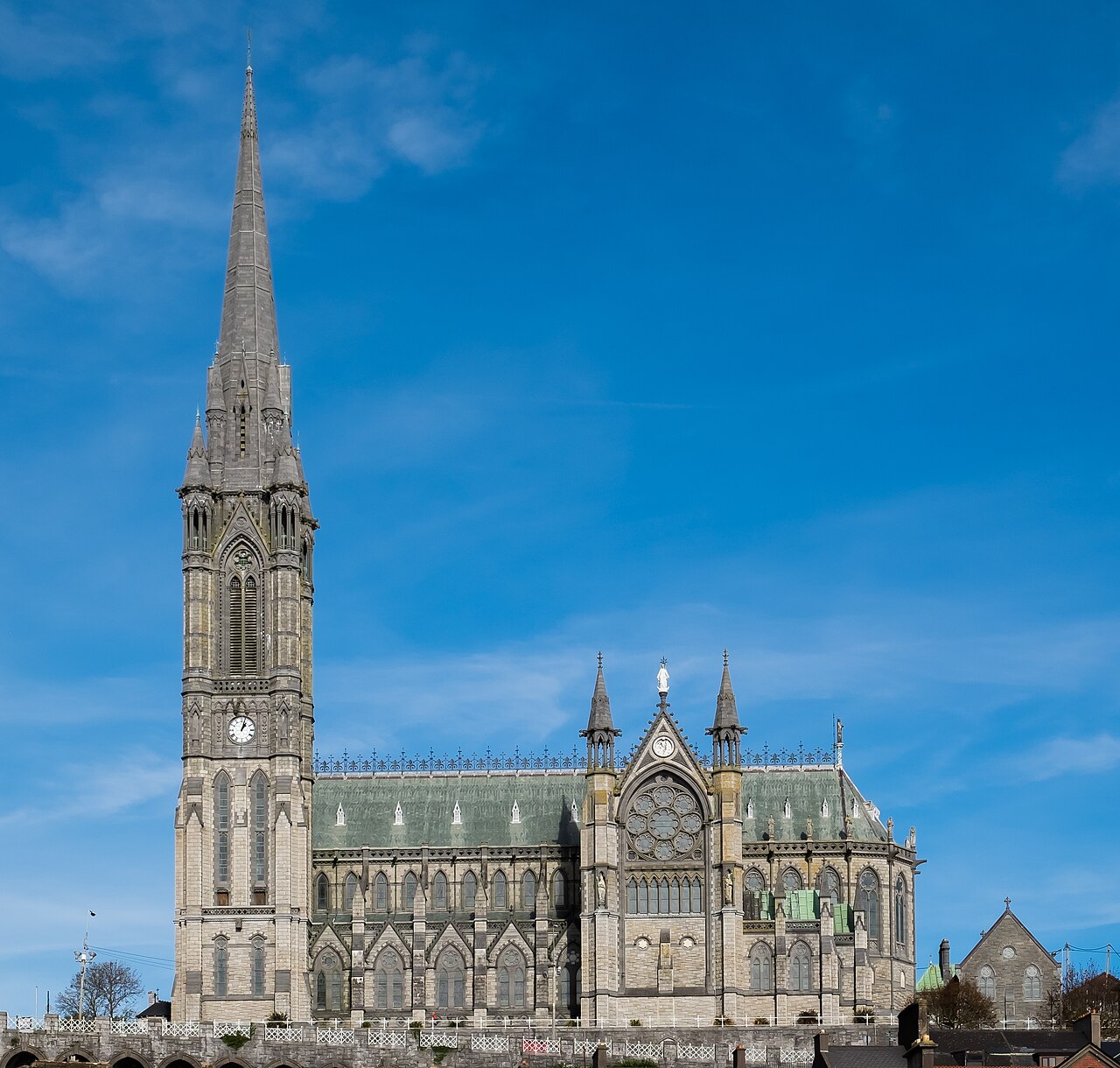 Saint Colman's Cathedral, CobhCathedral · 1.8 mi
 The BenchViewpoint · 1.8 mi
 Titanic Memorial GardenHeritage attraction · 1.8 mi